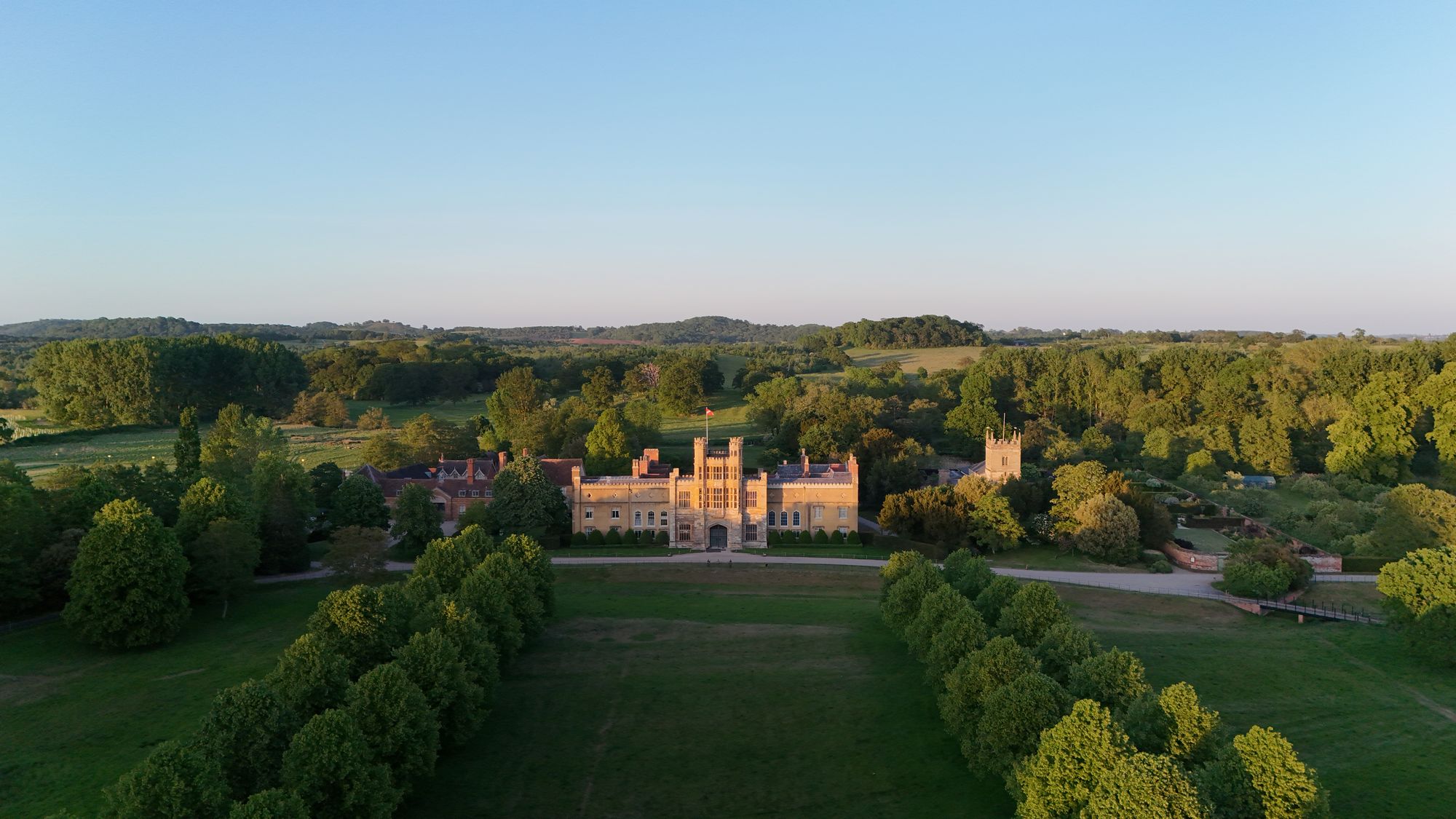
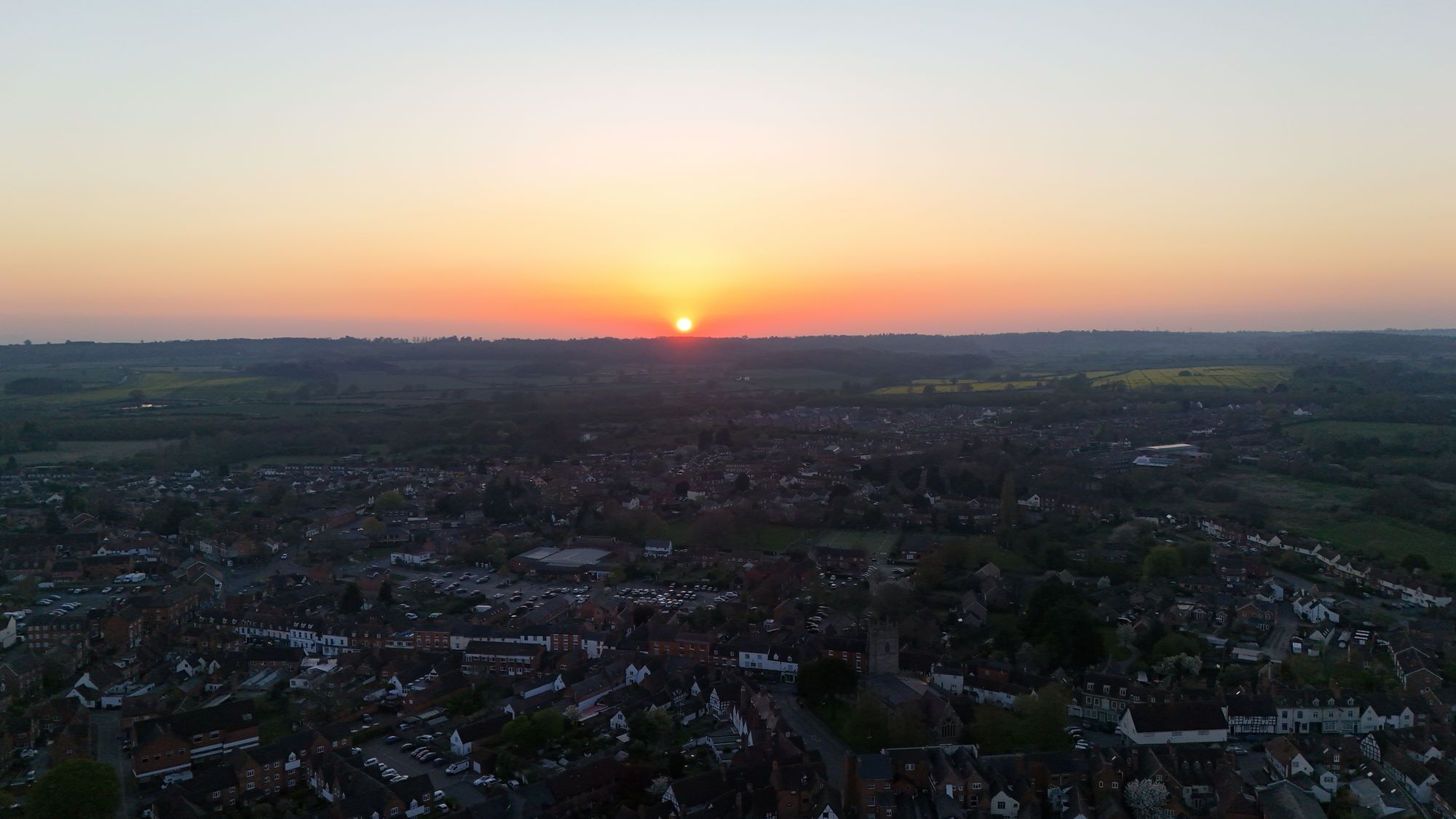
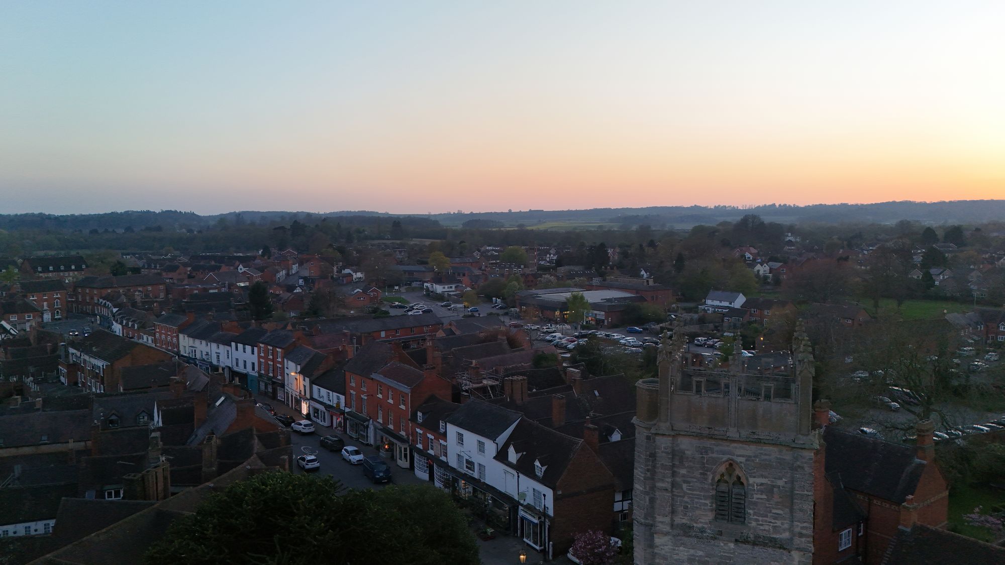
The glorious weather has continued throughout the month of May and really gets me itching to take the drone up over the town.
I think the town looks great with the bunting out on the high street and just look at that blue/green summer backdrop. Marvellous!
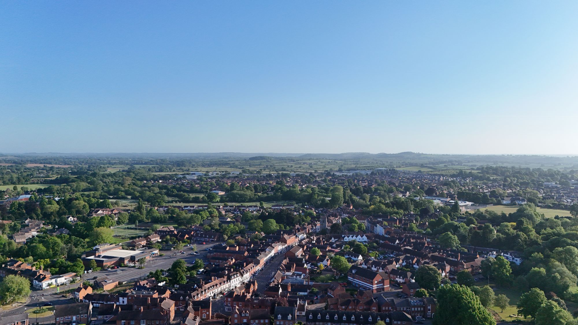
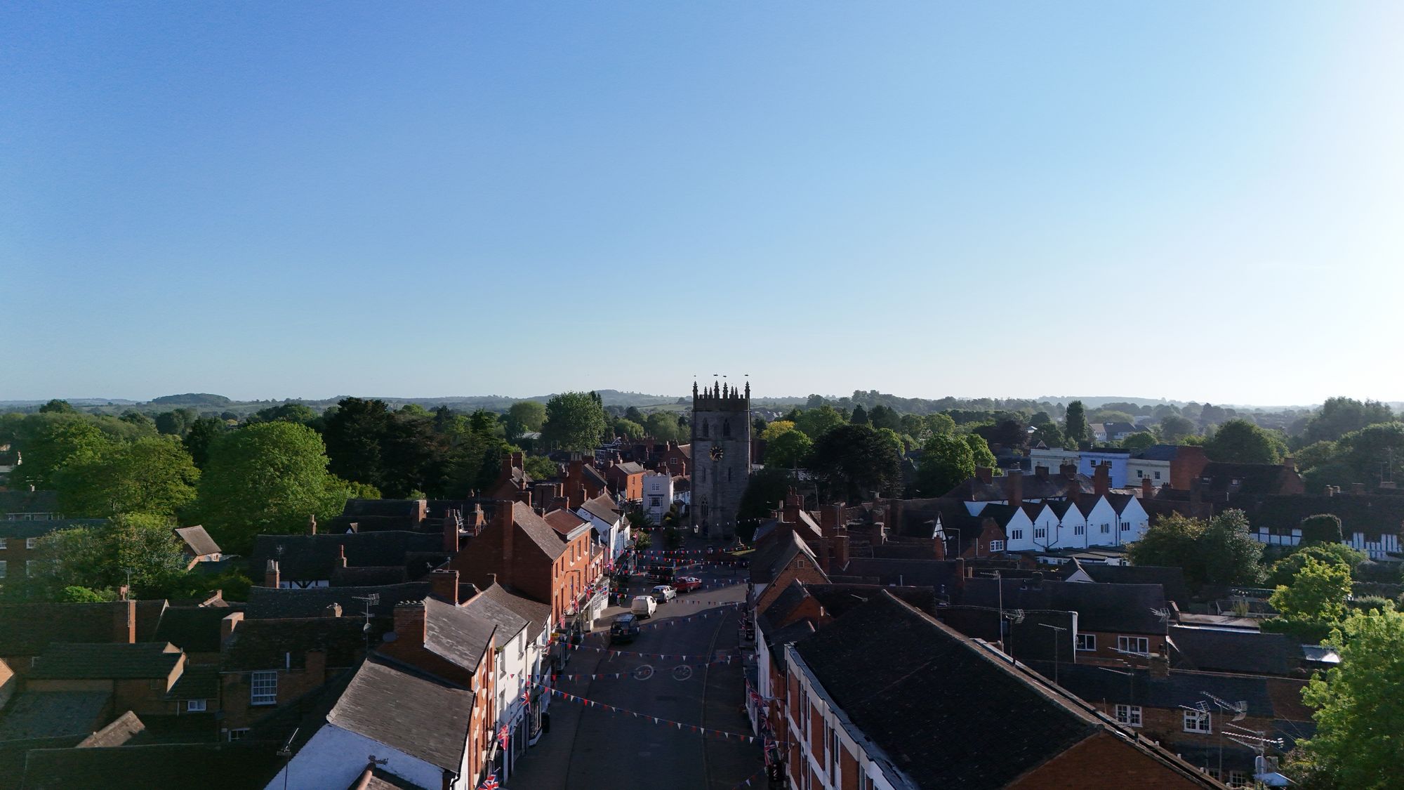
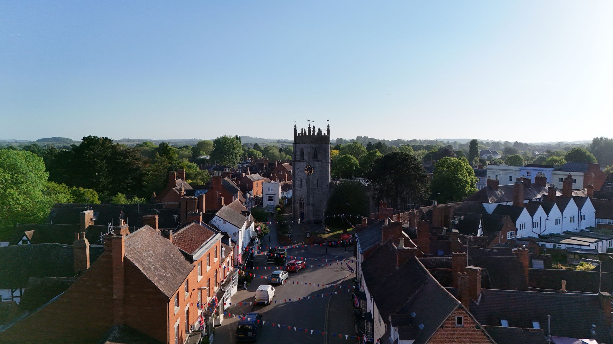
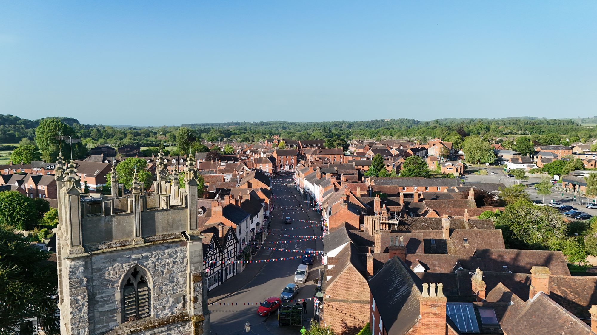
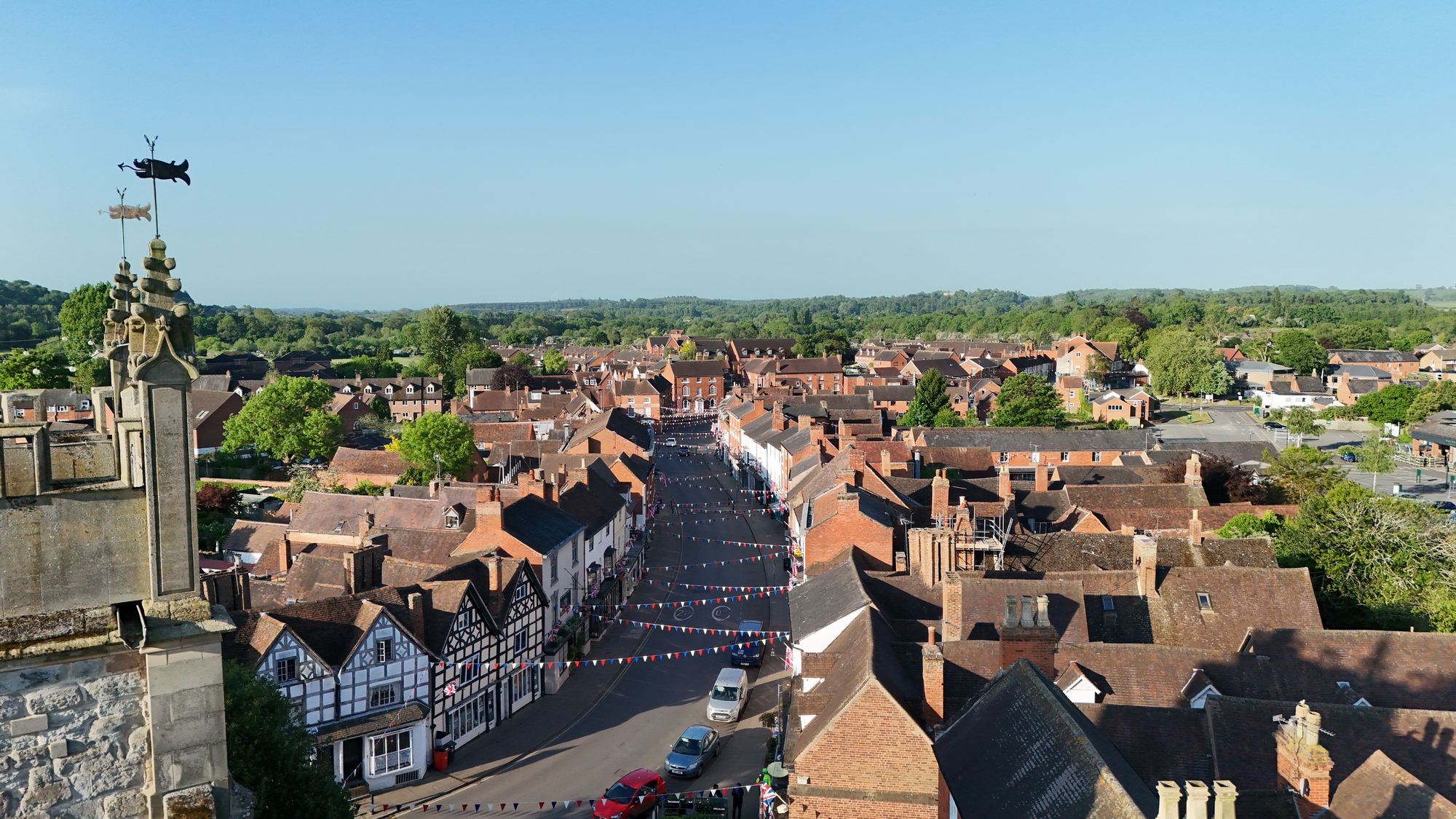
All pictures taken on Tuesday the 13th of May 2025.
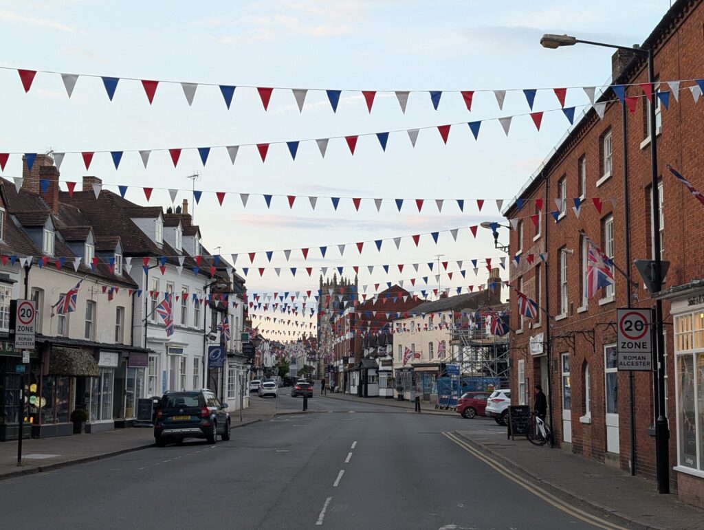
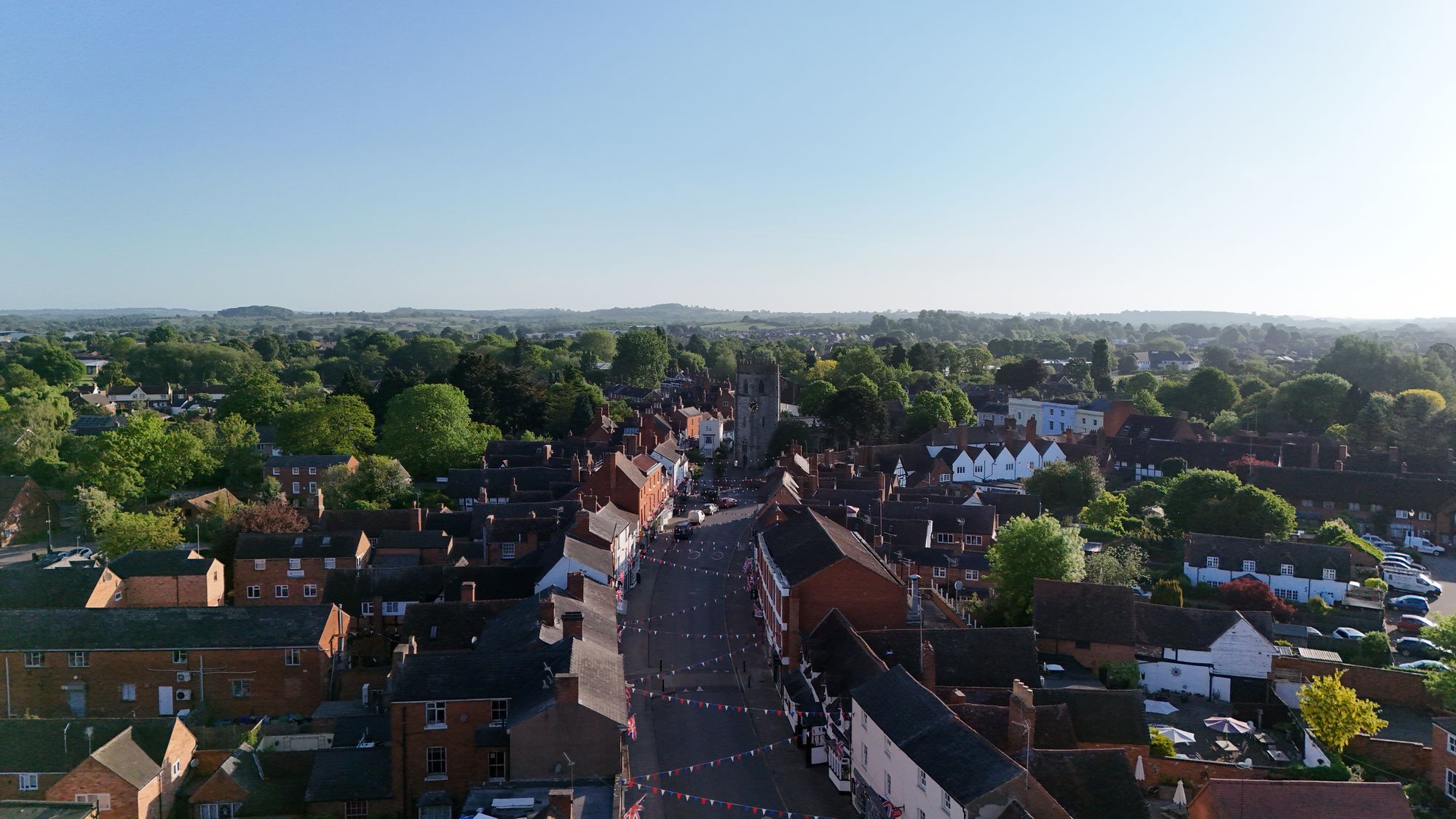
Just a photo I took tonight of the high street. The bunting is up.
Picture taken 11/5/25
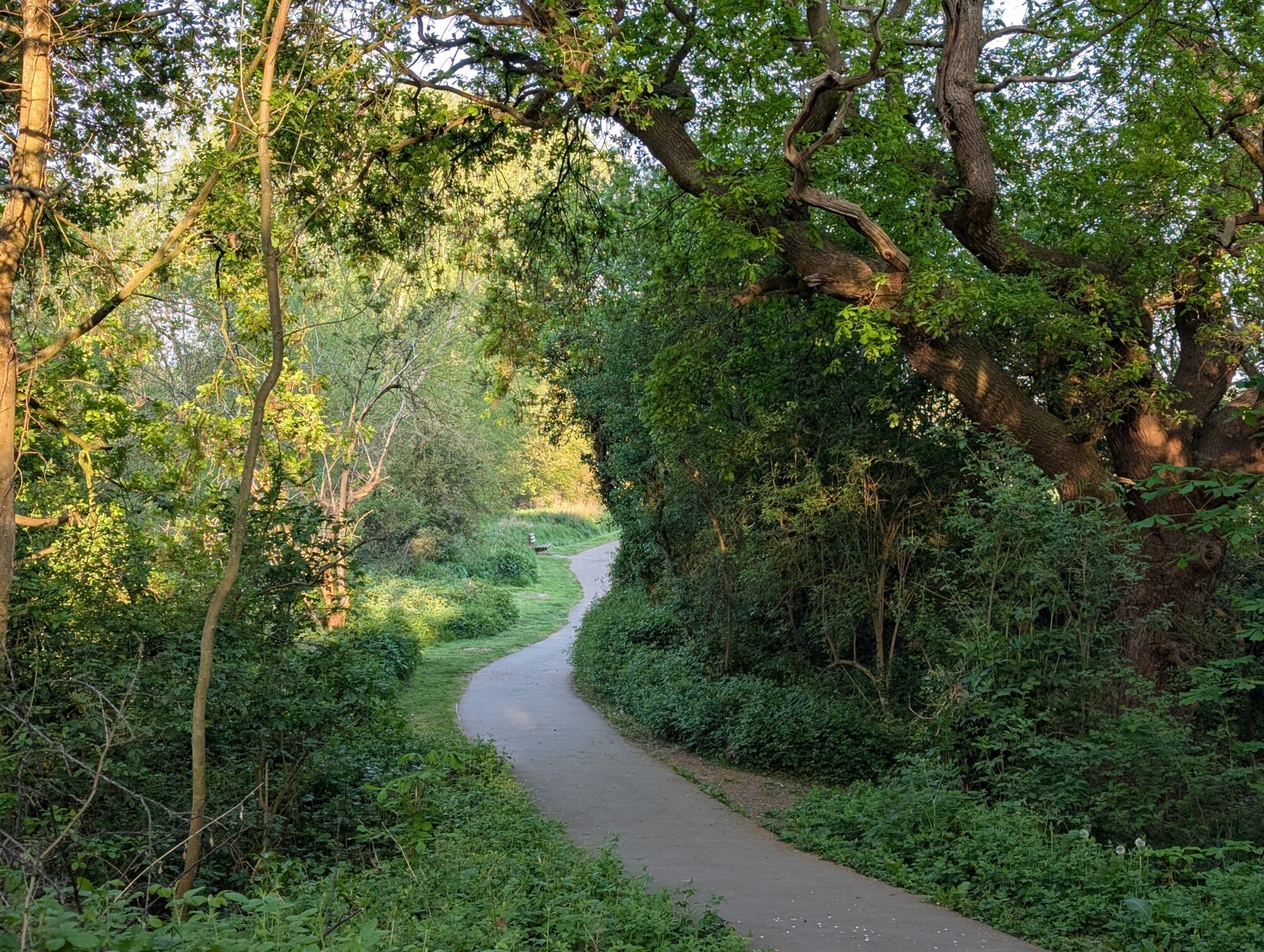
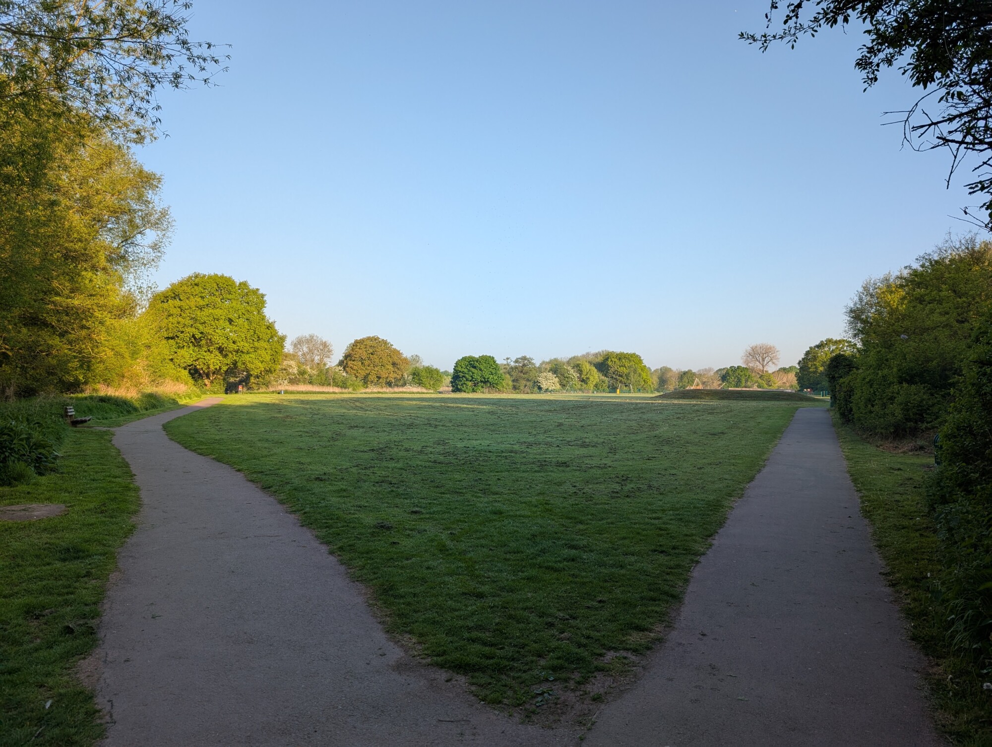
Pictures from an early summer walk following Monarch’s way from Kinwarton to Spernal Lane, a little bit of the Alne Hills and back again.
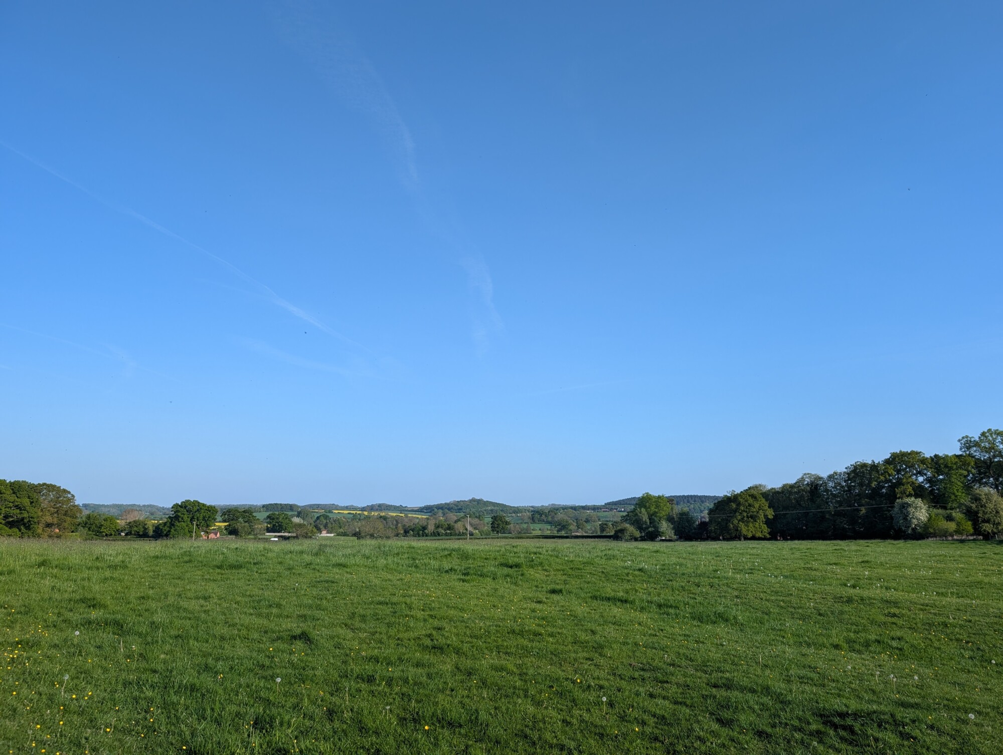
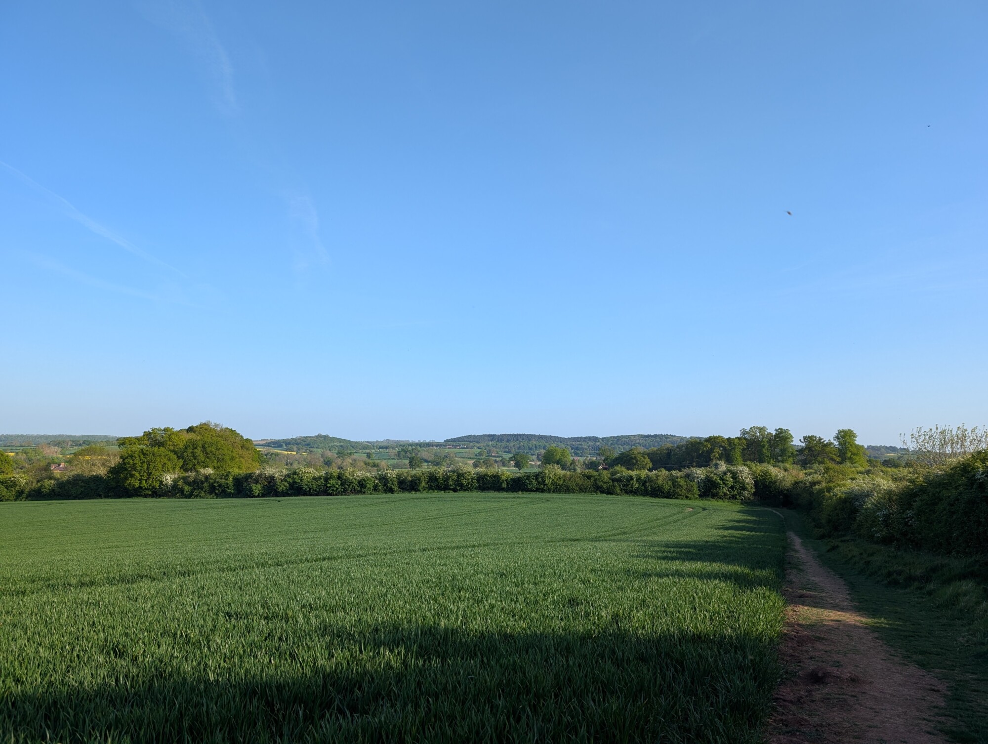
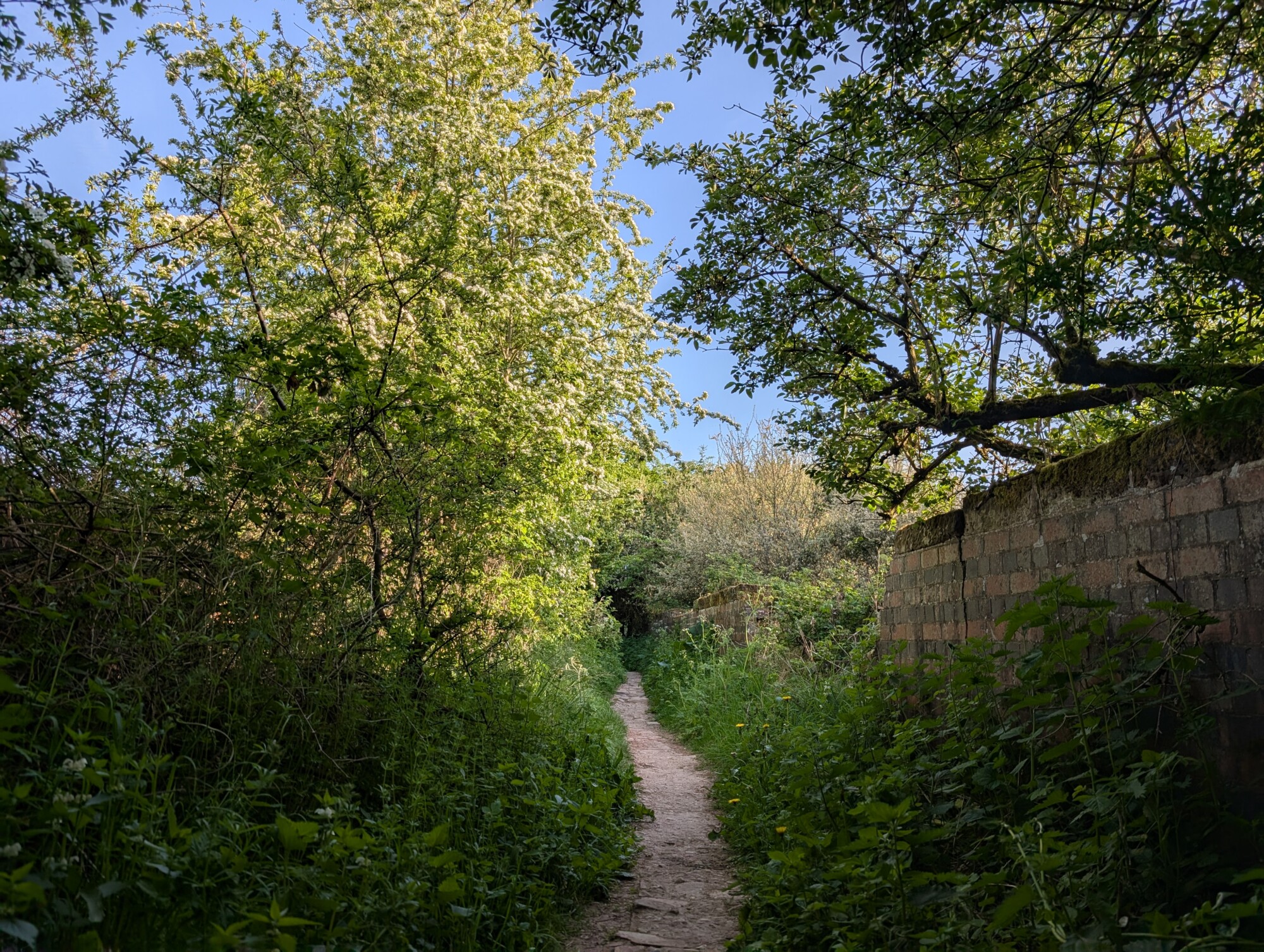
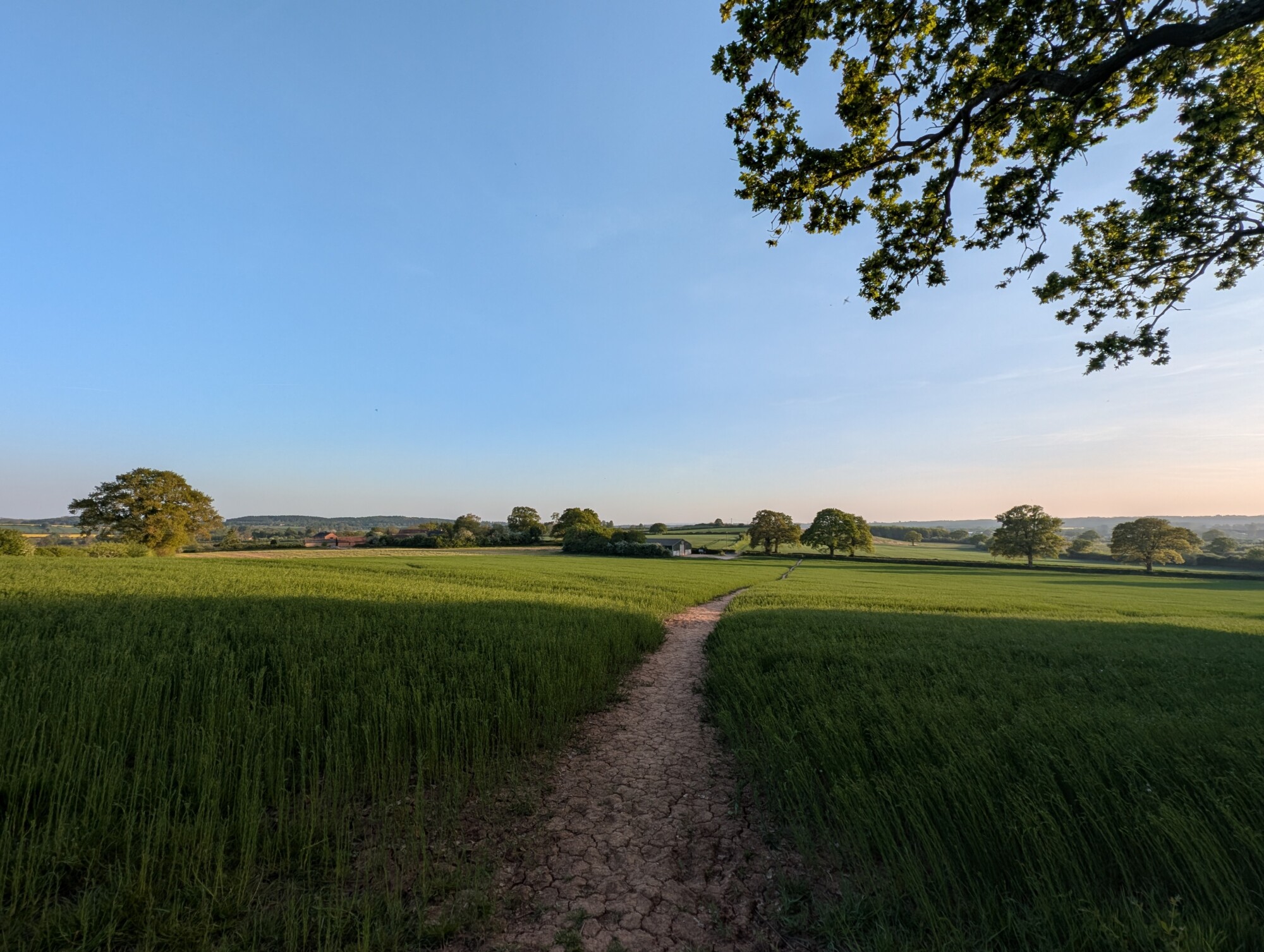
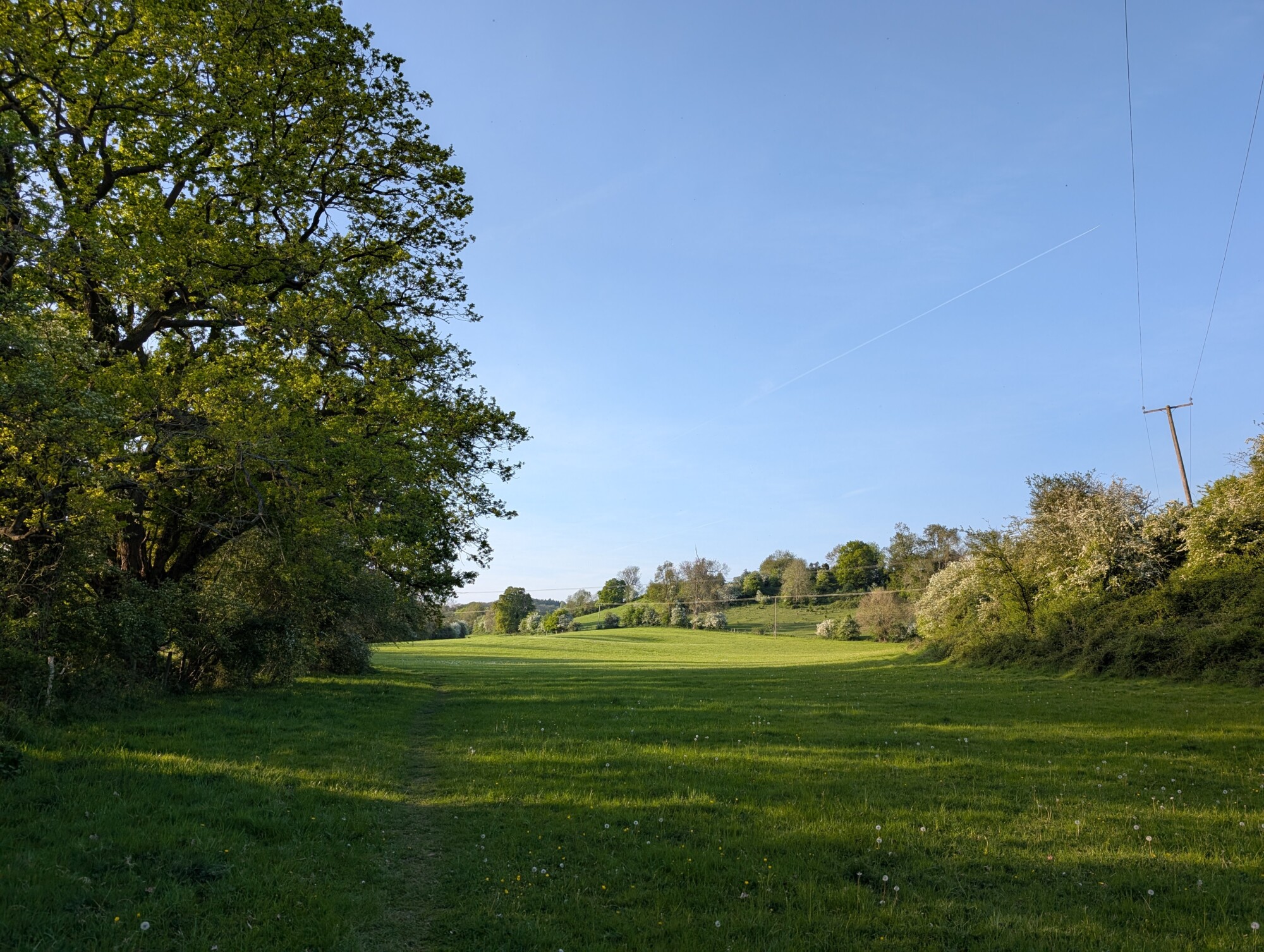
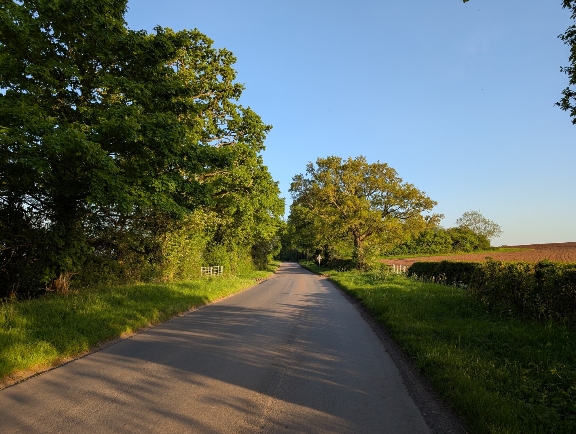
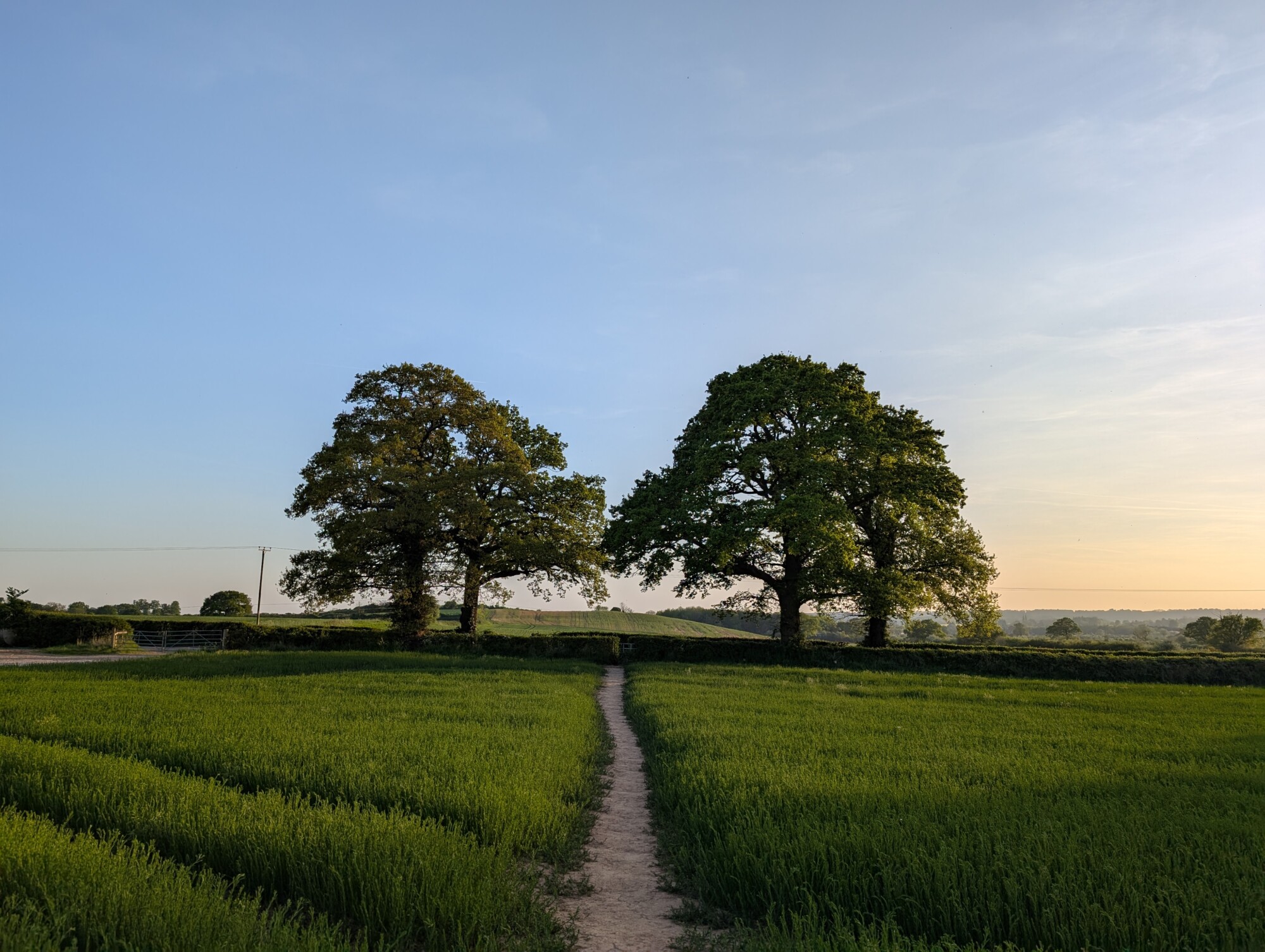
All pictures taken on Tuesday the 29th of April 2025
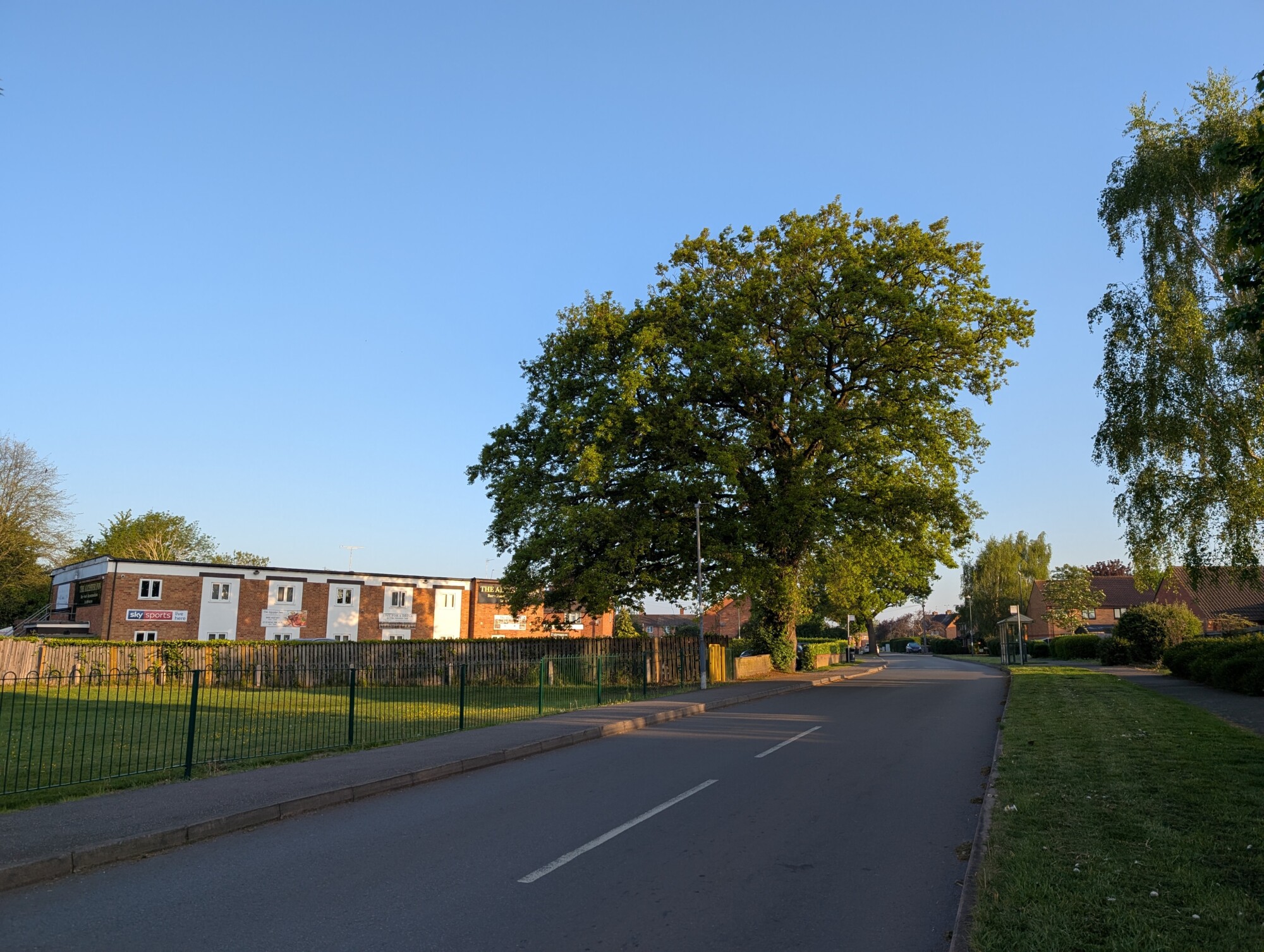
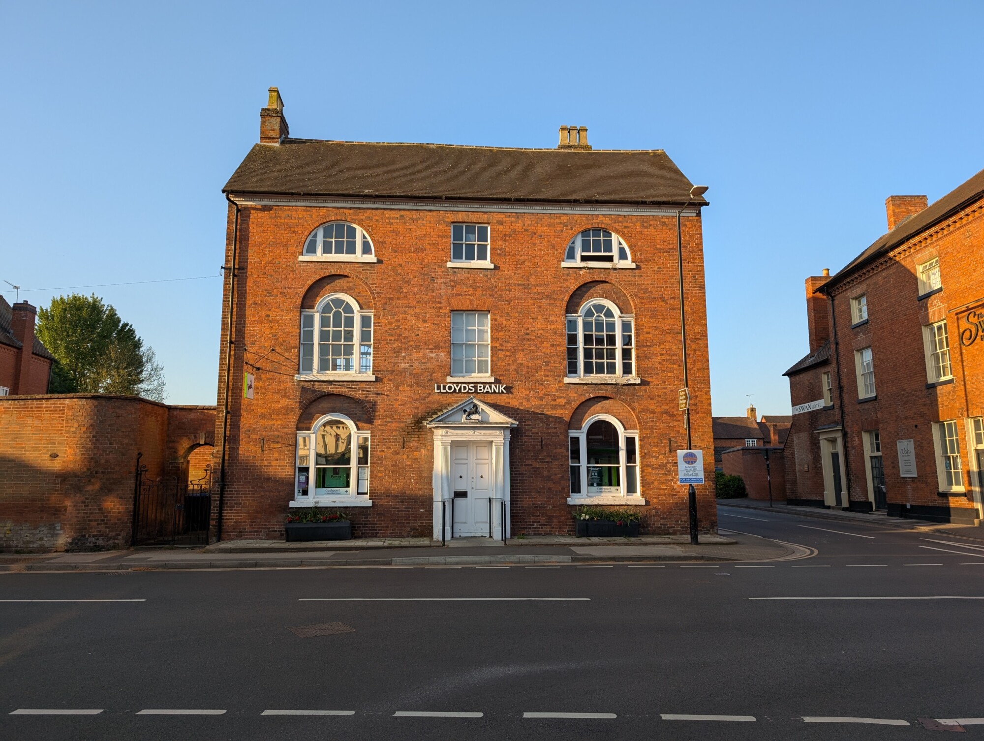
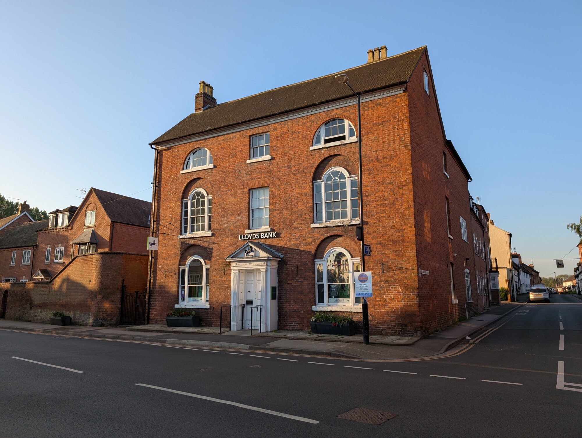
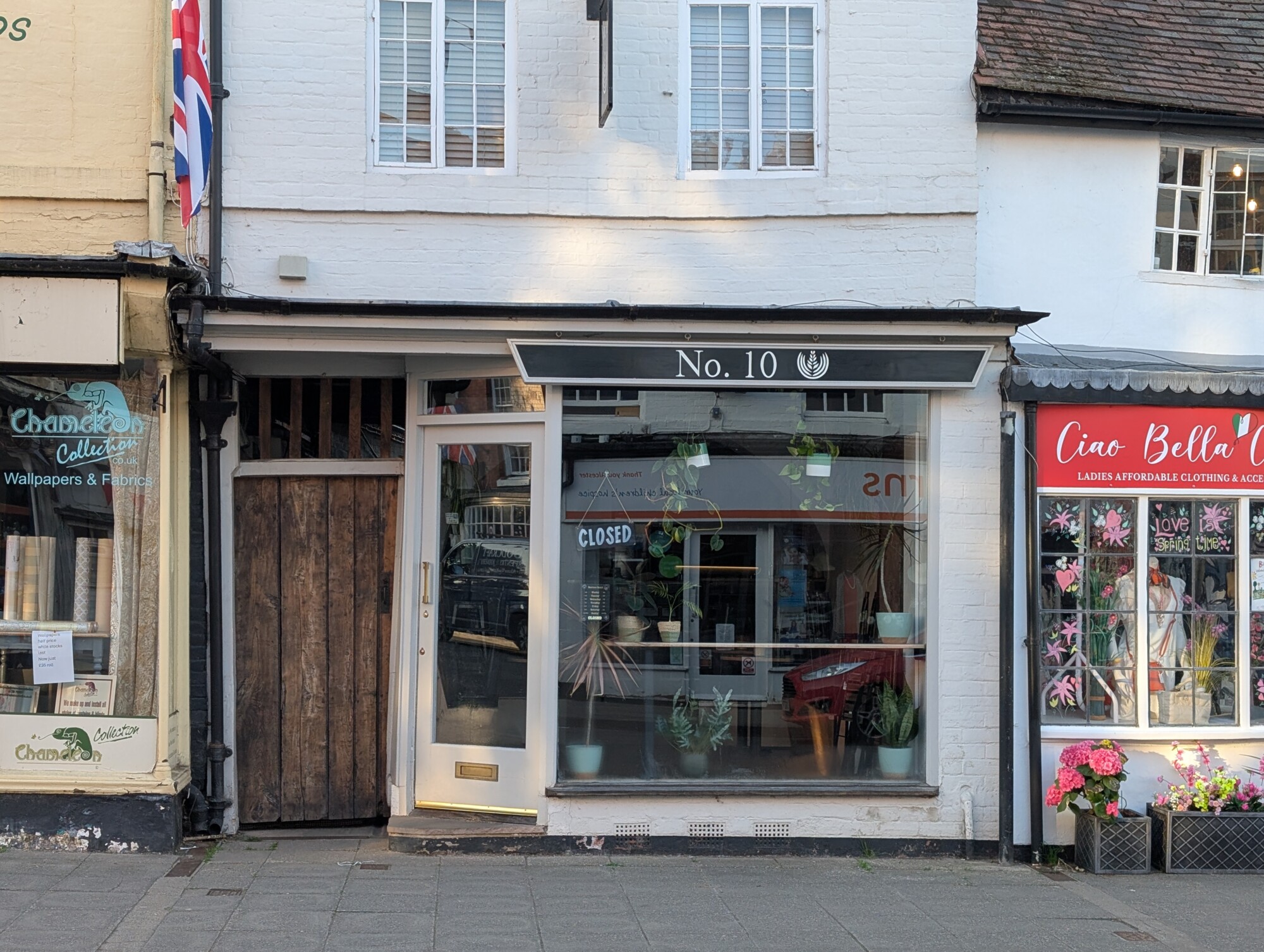
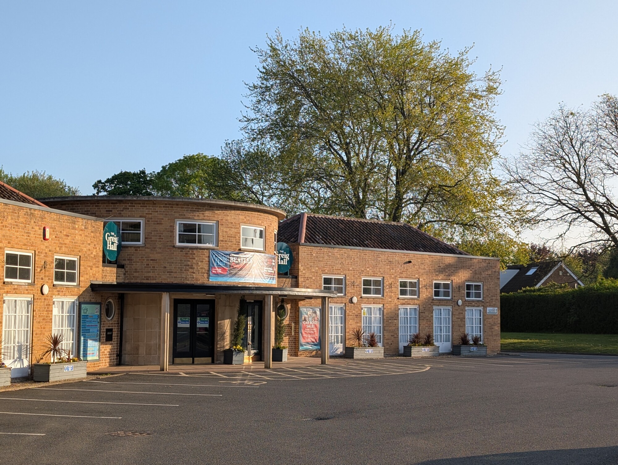
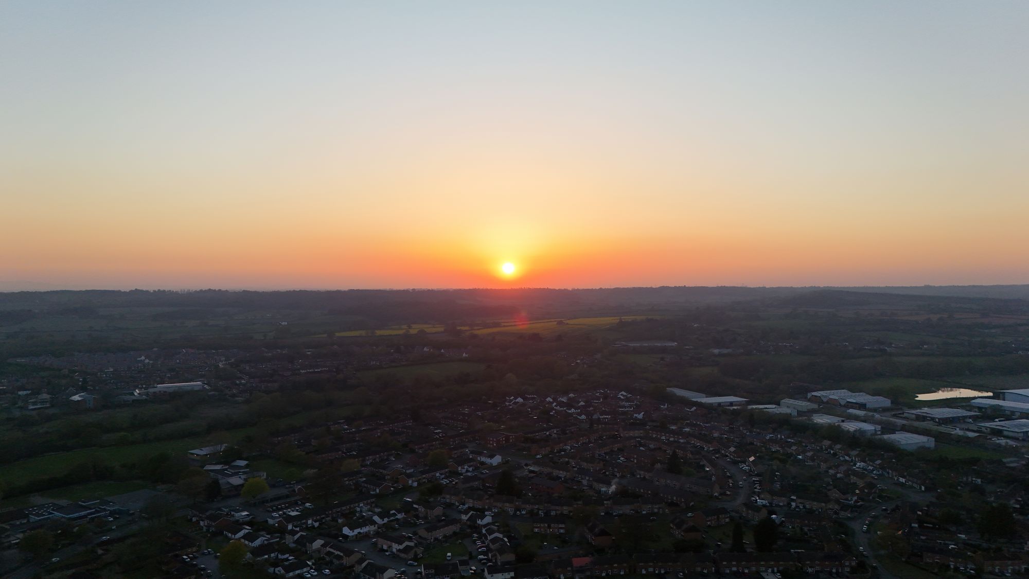
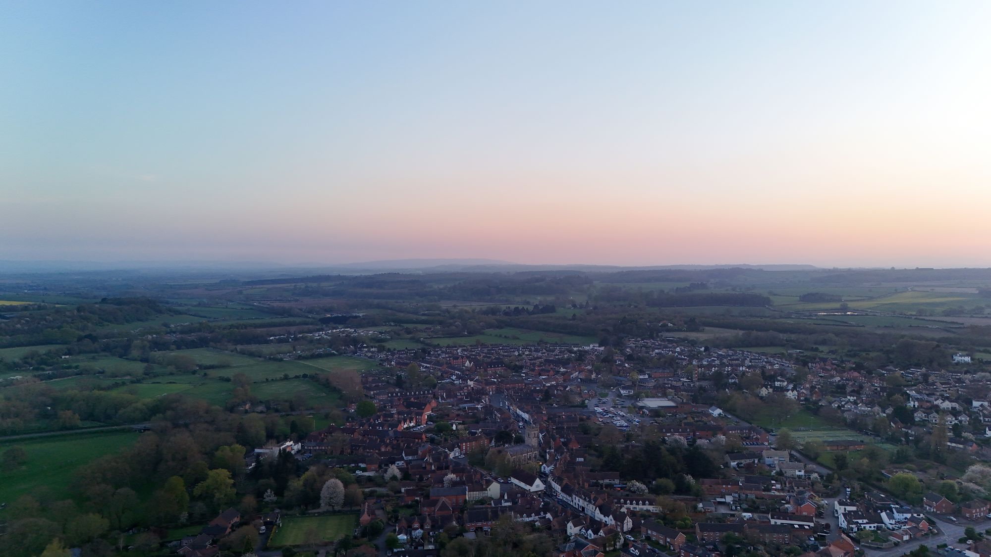
Some pictures from around Alcester on the morning of the local election day, Thursday the 1st of May 2025.


Aerial pictures of the Fleur de Lys pub, Lowsonford. Taken half-way on a canal walk from Wootton Wawen on Sunday the 20th of April 2025.


The Mount Inn, Stanton. You’d be forgiven for never knowing there was a pub here as it’s hidden right at the back of this charming Cotswold’s village.
A cosy 17th century pub with views extending as far as the Welsh mountains. And you can sit at the bar, too. A theme I’m seeing across Donnington pubs.
Drink of choice today was Donnington’s Cotswold Stout.


Some recent aerial pictures of the development site at Oversley Mill Services on the roundabout between the A435 and the A46 just outside of Alcester. There has been a fuel station here since 1990 and has previously been a BP petrol station with a car wash.
The current plans are for a new petrol station alongside additional electric vehicle charging bays, a new car park, car wash area, coffee drive thru and a brand new store called “Browns”, named after the owners.
In their own words:
Get ready to explore an amazing selection of food and drink, including all your favourite Co-op own brand ranges. But that’s not all! We’re also bringing you Browns Car Spa, offering a full range of car washing and valeting options to keep your car looking as good as new.
Whether you’re fuelling up for a road trip or stocking up your cupboards, Browns Food Stores is your one-stop-shop for convenience and quality.
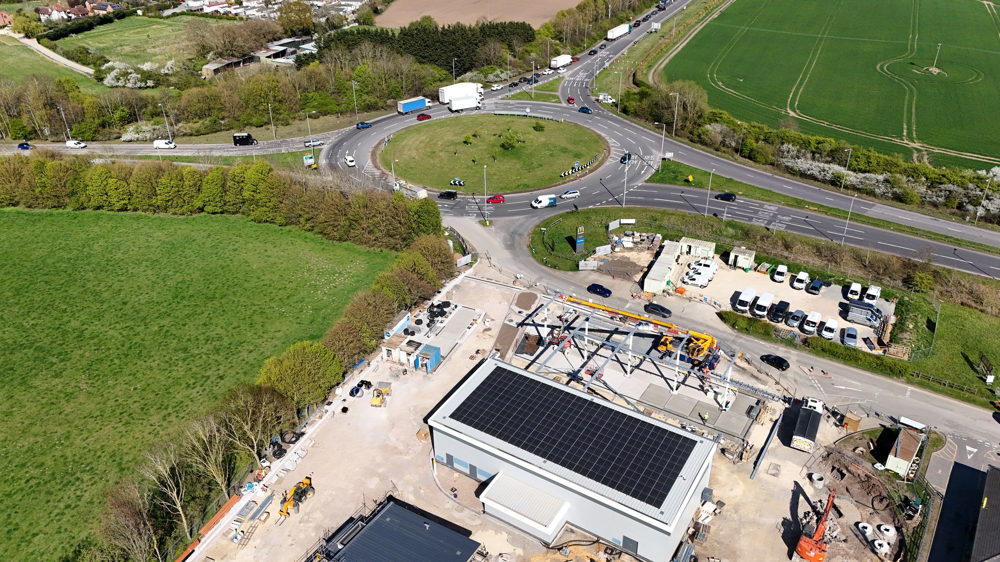
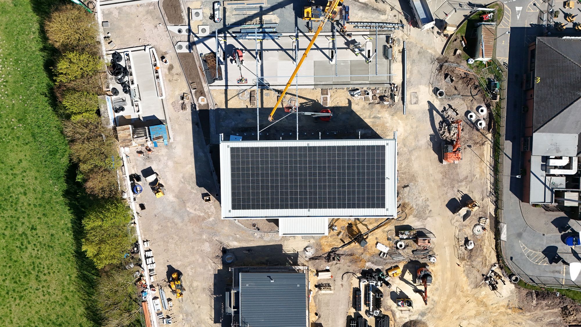

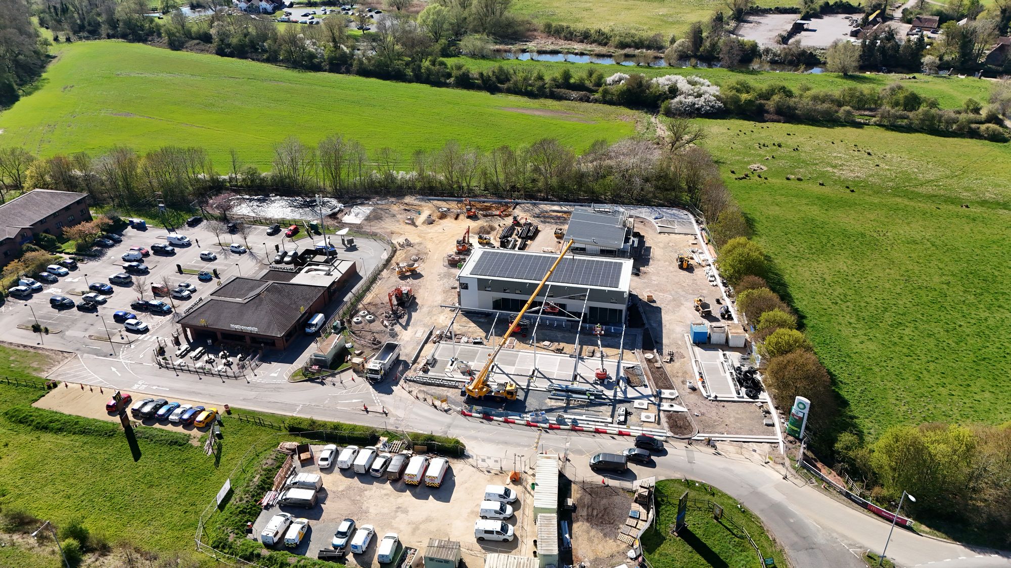
All pictures taken on the 7th of April 2025.


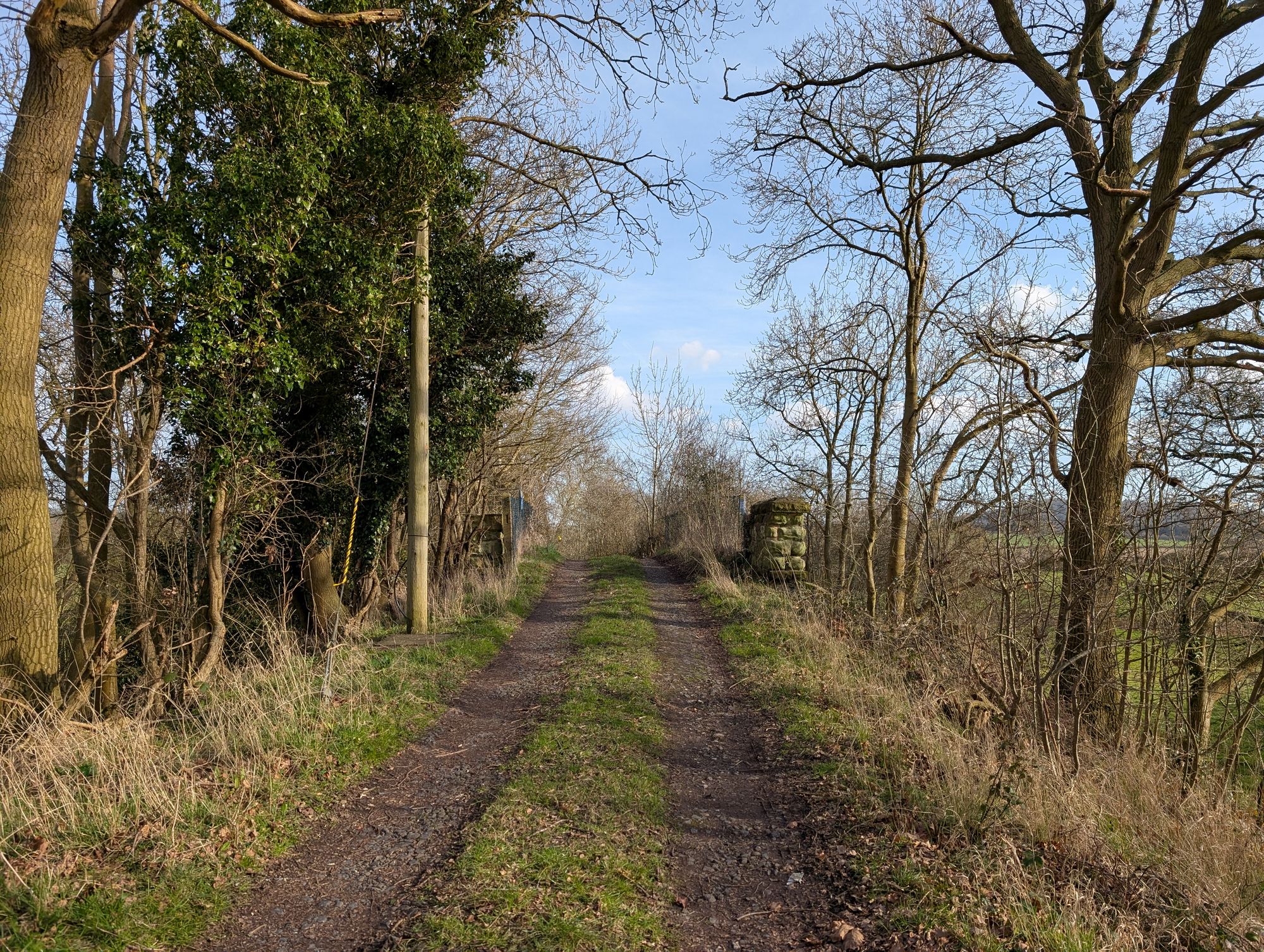
With the early spring weather still holding we started the next walk in this series just a week after the first from Kinwarton to Spencer’s Mill, this time heading from Great Alne to Aston Cantlow.
While the aim of this walking series is to walk sections of the line that are accessible to the public, unfortunately there are some parts that aren’t and so it isn’t possible to walk immediately east from Spencer’s Mill as parts of the line have been absorbed into farmland. Because of this we decided to start the walk from what I’m calling the Ford Railway Bridge at Great Alne.
To get to the bridge we followed the B4089 from Great Alne, turning right about 300 metres from the Great Alne Park junction.

The Ford Railway Bridge was one of four road overbridges on the Alcester Branch. It is now under the control of the Department for Transport as part of the Historical Railways Estate; a portfolio of more than 3,100 bridges, tunnels and viaducts that were once part of Britain’s rail network.
The bridge is the only remnant of the Alcester Branch under the control of the DfT. In Alcester the road overbridge carrying traffic on the Evesham Road over the former Midland Railway is also included in the DfT’s HRE portfolio.

The road up to the bridge is a single lane track. You can see the sides of the bridge as you approach it. The ford itself is on the other side of the bridge.


On ground level the bridge, its beams, stonework and abutments are clear to see. Trains would have steamed through here in both directions. The line is now overgrown, filled with what looks like items from fly-tipping.

The walk continued onwards towards Aston Cantlow. You can see the side profile of the embankment in the picture above. It is flanked by fence posts and trees grown since its abandonment.
There is a brook between this field and the next. Guarded by two wooden stiles either side of two long planks over the brook. The Alne twists and turns here around a caravan park.
Following this footpath takes you onto the embankment of the line.

Note: According to the book “Alcester Branch: ISBN: 1 905184 05 0”
“The line was carried over the Aston Brook by means of a twin-span girder bridge at 2 miles 15 1/4 chains”.
I didn’t see the bridge mentioned and can only assume the brook pictured above is said “Aston Brook”.

A small observation made as I walked on the outside of the embankment was this piece of track. I assumed, erroneously, that it was once used on the Alcester Branch and later re-used perhaps by a famer. I have since learned that it was common for GWR to re-purpose rail tracks for fence posts. The track pictured above is a broad-guage “bridge” rail track and likely dates to the creation of the train line.

The embankment today is overgrown with trees.

The Alne hills and Aston Cantlow providing a scenic view looking out from the embankment. This is the scenery passengers would have enjoyed on their journey’s.

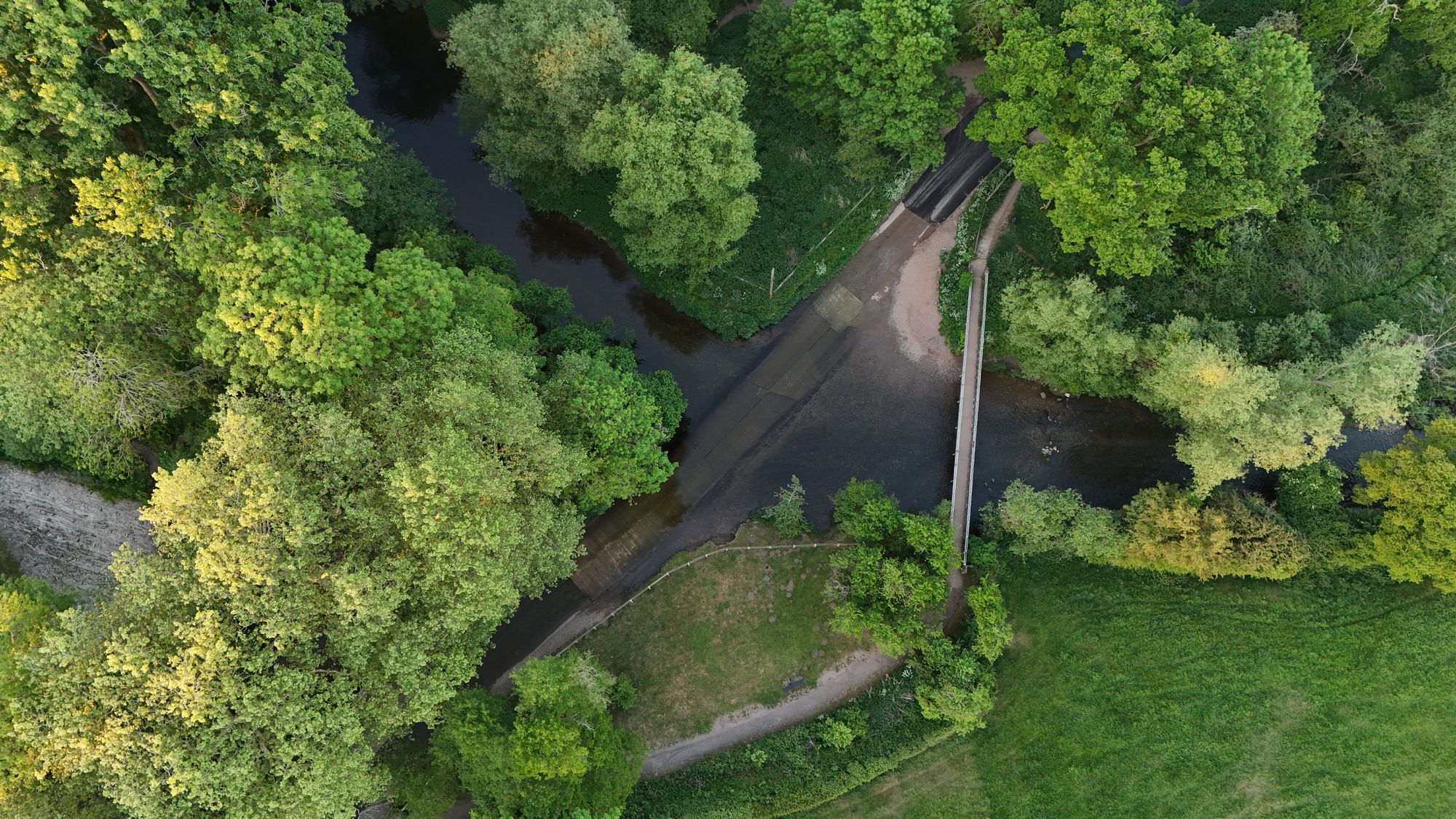
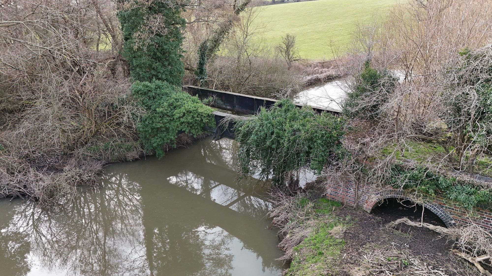
Following the track to the river was a difficult task as we navigated through the overgrowth. The river bridge came into view, a 43ft long steel girder bridge supported by brick piers. You will notice the three flood arches on the north bank.

According to the Alcester Branch book:
“The structure was severely damaged by flooding in January 1901 when the Rivers Alne and Arrow burst their banks. The main bridge girders were washed away and deposited in the river alongside the abutments, whilst the brickwork in the flood arches was badly cracked. The bridge was rebuilt with new girders and to this day the original ones lie in the bed of the river where they fell..
The structure underwent further extensive repairs in 1926 when the bridge was redecked with 9in timbers and additional stiffness, gussets etc.”
The original bridge is sitting at the bottom of the Alne somewhere.


From the bridge we then doubled-backed on ourselves and followed the path towards the caravan park. There is a small foot-crossing here.
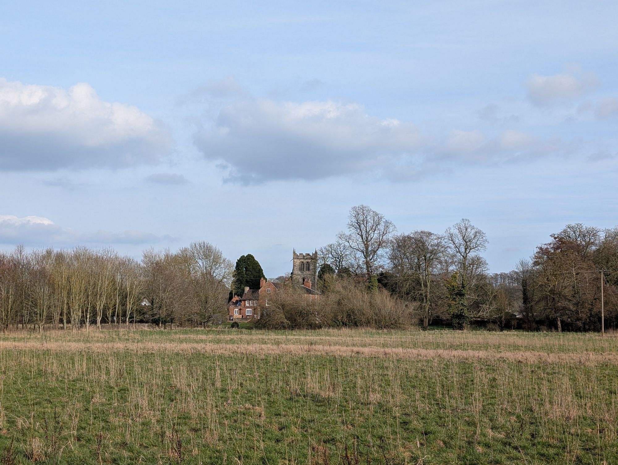
From the caravan park we followed the path towards the Church and then to the pub for a well-deserved refreshment.
Date of walk: 1st of March 2025