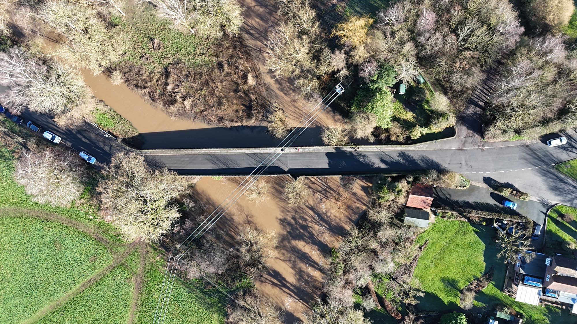
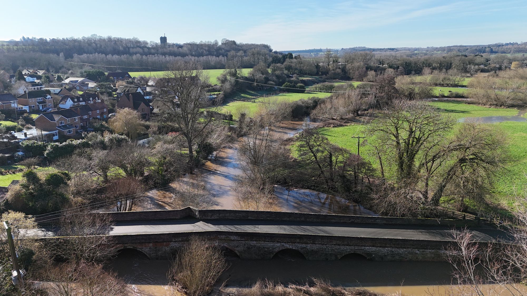
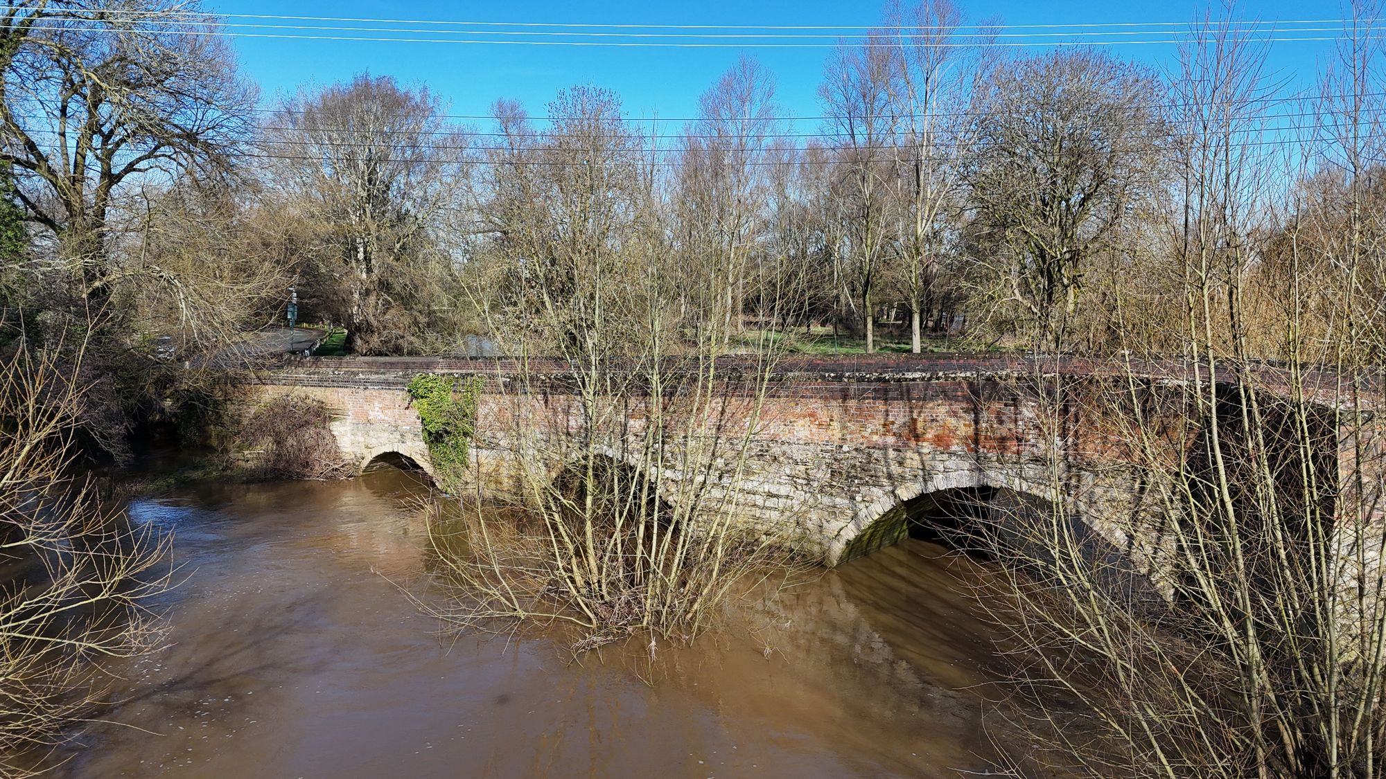
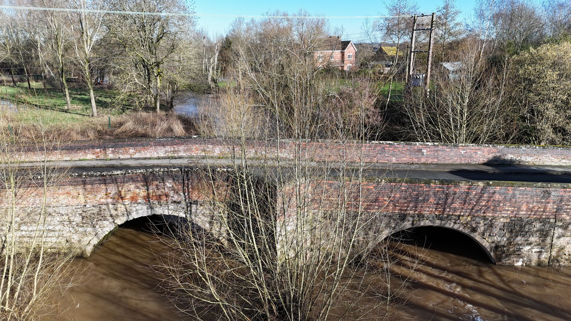
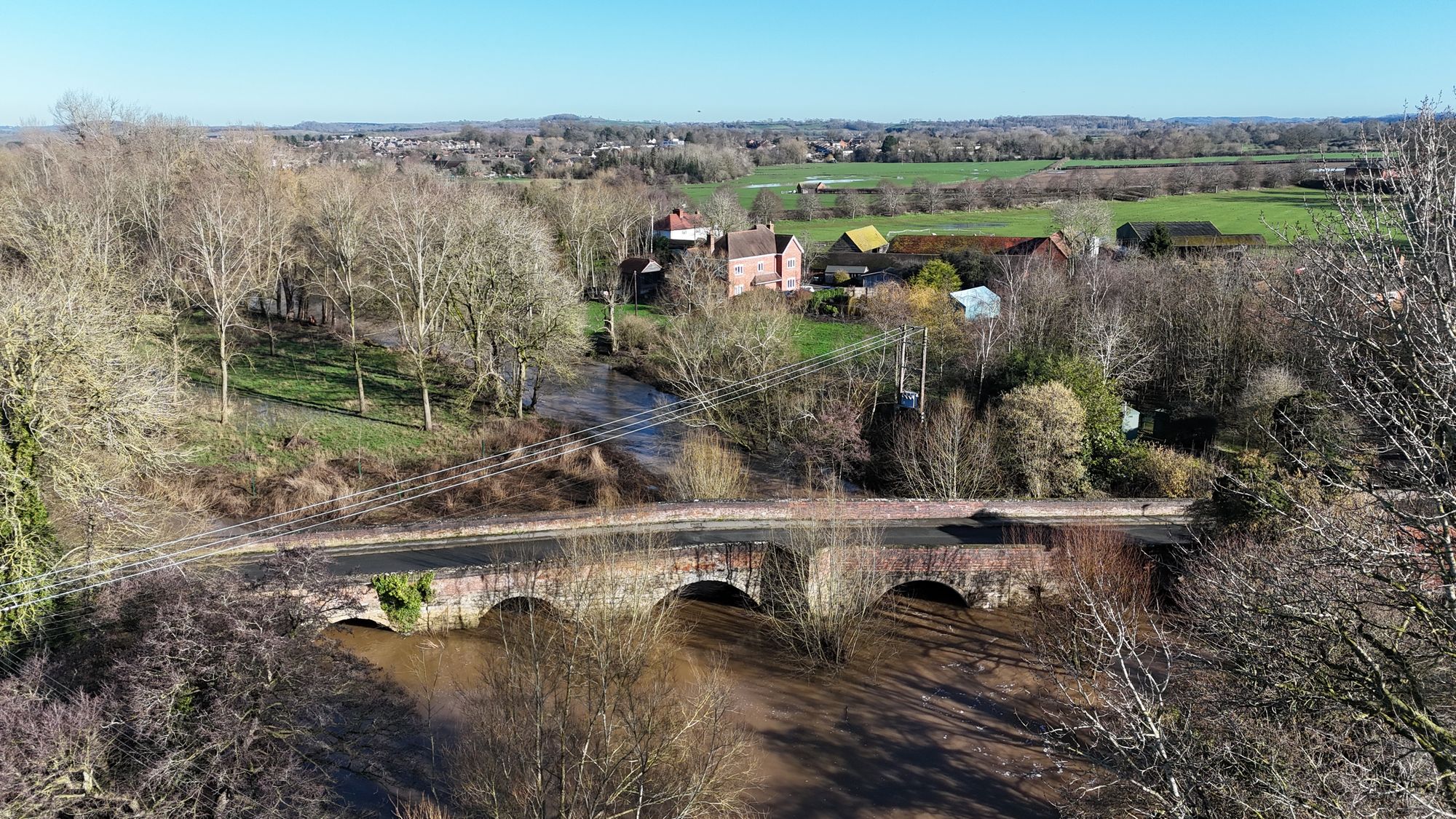
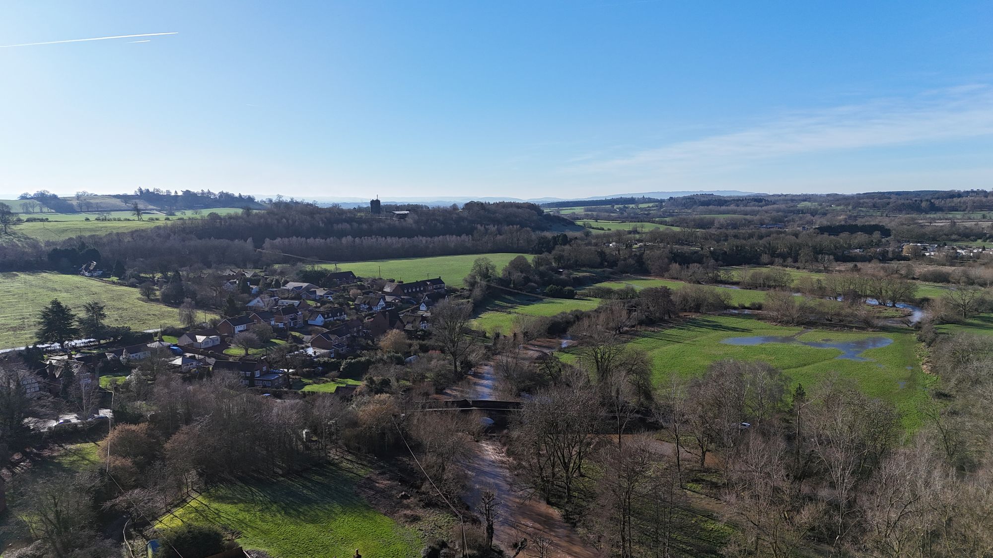
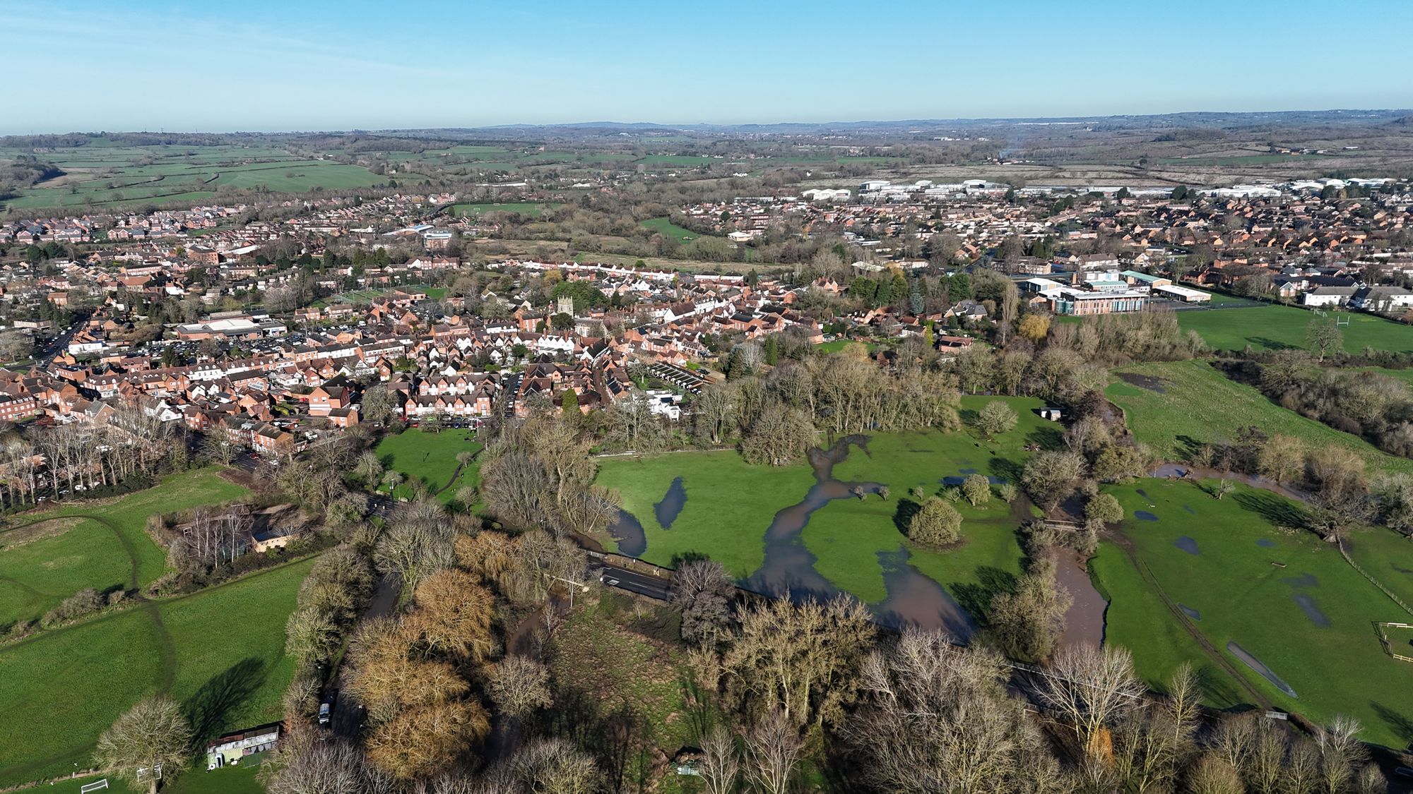
It’s been a wet start to the year and the river levels are up as a result. I ventured down to Oversley Bridge to take a look at the Arrow as it had burst its banks in various places.
The following pictures and video were taken from my drone.
Oversley Bridge flooding Birdseye viewFlooding around Oversley BridgeOversley BridgeClose-up of Oversley BridgeFlooding around Oversley BridgeAlcester flooding around the Oversley BridgeAlcester flooding around the Stratford Road
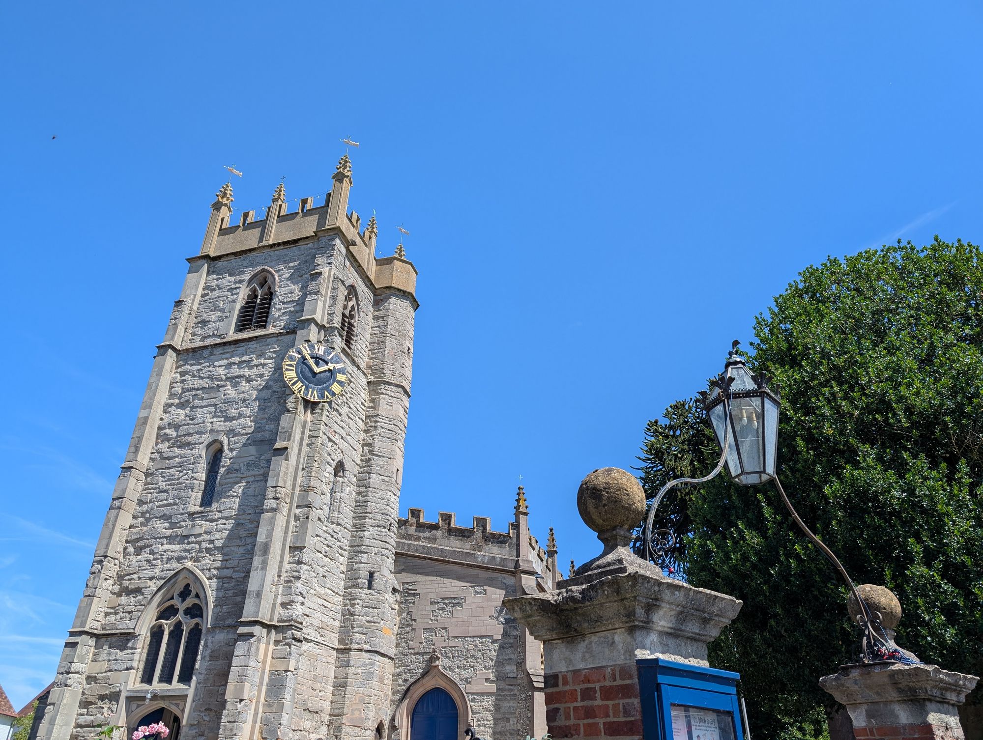
Some photographs of St Nicholas Church taken on the 23rd of July 2016.
St Nicholas Church seen along Alcester High StreetStreet lamp and church tower in AlcesterSt Nicholas Church rising above AlcesterThe clock on St Nicholas ChurchPath beside the churchyard at St NicholasWalkway leading towards St Nicholas ChurchStone entrance doorway at St Nicholas Church.Tudor-style buildings in AlcesterHistoric timber-framed buildings in Alcester
While researching the history of the Alcester branch railway at the Warwickshire County Archives, I came across an 1873 petition that captures both the town’s frustration and its determination to secure better rail connections. Addressed to the Marquess of Hertford and signed by dozens of Alcester inhabitants, the letter thanks him for his efforts to benefit the neighbourhood before respectfully urging him to use his influence – particularly with the Great Western Railway – to support the construction of the Alcester branch, for which an Act of Parliament had been obtained only four months earlier.
At the time, the town was entirely dependent on the Evesham & Redditch Railway, which was worked by the Midland Railway. The signatories complain of what they describe as an “unjust and exclusive monopoly” over both passenger and goods traffic, and point out that passenger services were so limited that the line was effectively closed for much of the day. As a result, Alcester was being denied the level of railway accommodation enjoyed by other towns – something the petitioners regarded as essential for business and everyday life.
The proposed Alcester branch, they argued, would introduce much-needed competition. It would provide another route to Birmingham and, crucially, direct railway communication with Warwick, Leamington, and London.
The list of signatories gives the petition real weight. Among them are the rector, churchwardens, surgeons, the postmaster, bank manager, schoolmaster, and a long roll of grocers, drapers, maltsters, ironmongers, tailors, innkeepers, manufacturers, and other tradespeople. It is a reminder that the absence of a direct railway connection did not affect abstract “interests”, but the everyday livelihoods of Alcester’s business community – men and women whose trade depended on reliable access to markets, suppliers, and customers.
What makes the petition particularly revealing is its reference to a competing scheme. The signatories note that another line was being projected from the East and West Junction Railway at Stratford to Broom, crossing a substantial portion of the Marquess’s estate. They stress that this Stratford-Broom line would offer no benefit to Alcester or its surrounding district and warn that it might jeopardise the construction of the Alcester railway altogether. On that basis, they respectfully urge the Marquess to withhold his support from the Stratford scheme.
Railway politics were particularly intense during this period. The idea of a branch linking Alcester with Warwick had first emerged during the construction of the Evesham & Redditch Railway, with proposals appearing as early as 1864 in the form of the Warwick Junction Railway. Like many schemes of the time, it fell victim to the economic collapse of 1866 and was quietly shelved.
It is therefore notable that proposals for a Stratford-Broom line appear in the local press before the Alcester branch was revived. Despite being promoted at a time when relations between the railway companies were ostensibly more cooperative, the Stratford-Broom scheme attracted greater local concern and closer scrutiny from both residents and railway interests. In the end, Alcester secured its Act for the branch line in 1872, while the Stratford-Broom line followed a year later – by which time the balance of local and commercial priorities had already shifted.
I have carefully transcribed the petition, including names of signatories along with their profession. This has been cross-referenced with local documents for validity.
Petition for Alcester about Railway Answ’d January 1873
To
the most noble the Marquess of Hertford
We, the undersigned Inhabitants of the Town of alcester, being deeply sensible of your Lordship’s untiring efforts to benefit this neighbourhood venture most respectfully to ask you to promote and assist by all available means in your Lordship’s power (particularly by exercising your influence with the Great Western Company) in the construction of the alcester Railway the act for which was obtained last Session. In support of our application we beg to lay before your Lordship the following facts:
That at the present time we are entirely dependent on the Evesham and Redditch company for railway accommodation which Railway is worked by the midland company who have for some time past exercised a most unjust and exclusive monopoly both in the Passenger and goods traffic. In consequence of the arbitrary system thus adopted and also that the Evesham and Redditch Railway is practically closed for passenger traffic during the greater portion of each day we are deprived of that Railway accommodation and benefit which other Towns enjoy and which is so essential for business and other purposes.
The alcester Railway will by establishing wholesome competition remove these disadvantages and supply us with what is so much required – namely – another route to Birmingham and direct Railway communication with Warwick Leamington and London.
We have been informed that another Line is projected from the East and West junction Railway at Stratford to Broom which will traverse through a very considerable portion of your Lordship’s property – This scheme as compared with the proposed alcester Railway will afford no accommodation to the Inhabitants of this Town and neighbourhood but if the act for the Line be obtained it may jeopardise the construction of the alcester railway and we therefore trust your Lordship will withhold your sanction and consent to this new project.
Soliciting your Lordship’s kind consideration of the foregoing circumstances
We beg most respectfully to remain your Lordship’s very obedient Servants
Signature
Occupation
Realised Names
Alfred H Williams
Rector
Alfred Henry Williams
George Nyman
High Bailiff
George Nyman
Edward Reeve
Gentleman
Edward Reeve
Thomas averill
Churchwarden, Alcester
Thomas Averill
T. L. Smith
Surgeon
Thomas Lant Smith
Wm Allwood
Churchwarden, Alcester
William Allwood
W. H. Thackwell
Chaplain of the Alcester workhouse
William Henry Thackwell
T. H. Smith
Surgeon
Thomas Haywood Smith
C S Wright
Postmaster
Charles Sheriff Wright
H. Walker
Manufacturer
Henry Walker
Thomas Bartlett
Needle manufacturing manager
Thomas Bartlett
Charles James
Maltster
Charles James
R M Bird & Co.
Wine Merchant
R M Bird & Co.
Thos. Heath
Railway Officer
Thomas Heath
Joseph Overbury
Yeoman
Joseph Overbury
R Jephcott
Grocer
Robert William Jephcott
Thomas Stiles
Cordwainer
Thomas Stiles
M a Pratt
Draper
Mary Anne Pratt
George D Hares
Ironmonger
George Daniel Hares
Jno Allwood
Fancy Repository
John Allwood
Hy Oughton
Draper
Henry Oughton
Wm Mortiboys
Plumber
William Mortiboys
Thomas Hallam
Grocer
Thomas Hallam
Thomas Wright
Clothier
Thomas Wright
W. H. Sisam
Corn Dealer
William Henry Sisam
Henry Overbury
Chemist
Henry Overbury
h arnall
Butcher
Henry Arnall
Chas Richards
Seedsman
Charles Richards
Benjamin Bluck
Draper
Benjamin Bluck
William Hinton
Baker
William Hinton
John Jones
Saddler
John Jones
Henry Hopkins
Hair Dresser
Henry Hopkins
R. Whitehead
Grocer
Richard Whitehead
Bernard Parr
Draper
Bernard Parr
Abel R. Lea
Hair Dresser Perfume.
Abel Russen Lea
H Fryer
Draper
Henry Fryer
Thomas Court
Victualler
Thomas Court
J. G. Owen
Bank Manager
John George Owen
W. Perkins
Millwright
William Perkins
Thos Hitchings
Ironmonger
Thomas Hitchings
W. Rickards
Veterinary Surgeon
Walter Rickards
William Edkins
Tailor
William Edkins
R. Sheaf
Maltster
Richard Sheaf
J Partington
Saddler
John Partington
J Edginton
Baker
Joseph Edginton
M Philpin
Assisting minister
Moses Philpin
Wm. Wadams
Butcher
William Wadams
A + M Canning
Stationers
Mrs Anne & Miss Margaret Canning
William Fortnam
Grocer
William Fortnam
William Hasney
Innkeeper
William Hasney
William Brandis
Yeoman
William Brandis
Wm Lewis
Maltster
William Lewis
Henry Fourt
Corn Dealer
Henry Fourt
William Hunt
Builder
William Hunt
I. D. Adcock
Chemist
Isaac Dickson Adcock
Joseph Lea
Tailor
Joseph Lea
Thomas Jackson
Wheelwright
Thomas Jackson
Thomas W Huxley
Plumber
Thomas William Huxley
William Russen
Licensed Victualler
William Russen
James Findon
Licensed Victualler
James Findon
David Hartles
Butcher & Grocer
David Hartles
William Grizzell
Gentleman
William Grizzell
Louisa Whissell
Innkeeper
Louisa Whissell
Edmund Parr
Bootmaker
Edmund Parr
Edward M Wright
Bookseller
Edward Moor Wright
Joshua Parker
Grocer
Joshua Parker
R Yates
Watch maker
Robert Yates
William Smallwood
Auctioneer
William Smallwood
R. H. Harbridge
School master
Richard Henry Harbridge
Richard Hawtin
White Lion
Richard Hawtin
Edward archer
High Street Carrier
Edward Archer
Petition to the Marquis of Hertford about Railway – TitlePetition to the Marquis of Hertford about Railway – Cover letterPetition to the Marquis of Hertford about Railway – Cover letter 2Petition to the Marquis of Hertford about Railway – Page 1Petition to the Marquis of Hertford about Railway – Page 2Petition to the Marquis of Hertford about Railway – Page 3Petition to the Marquis of Hertford about Railway – Page 4
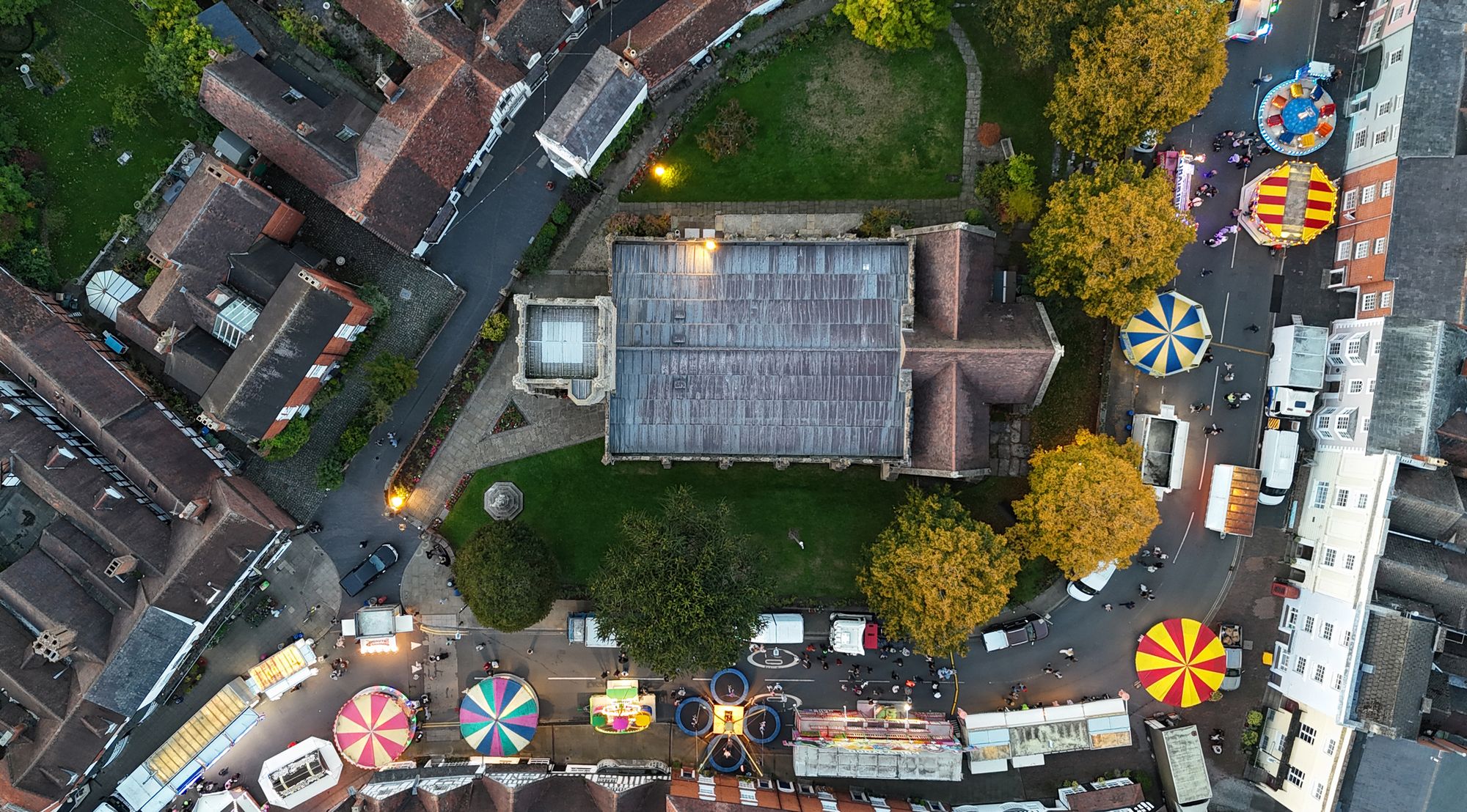
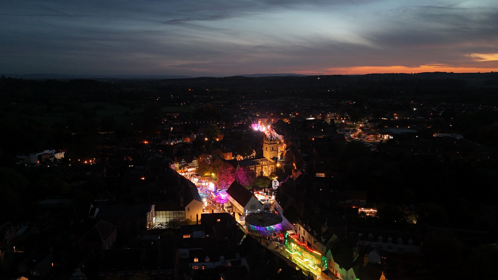
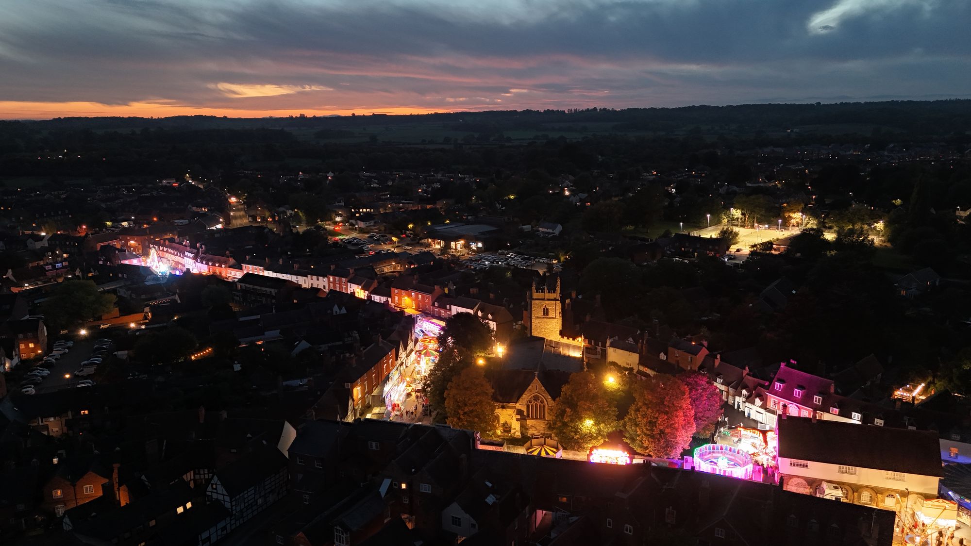
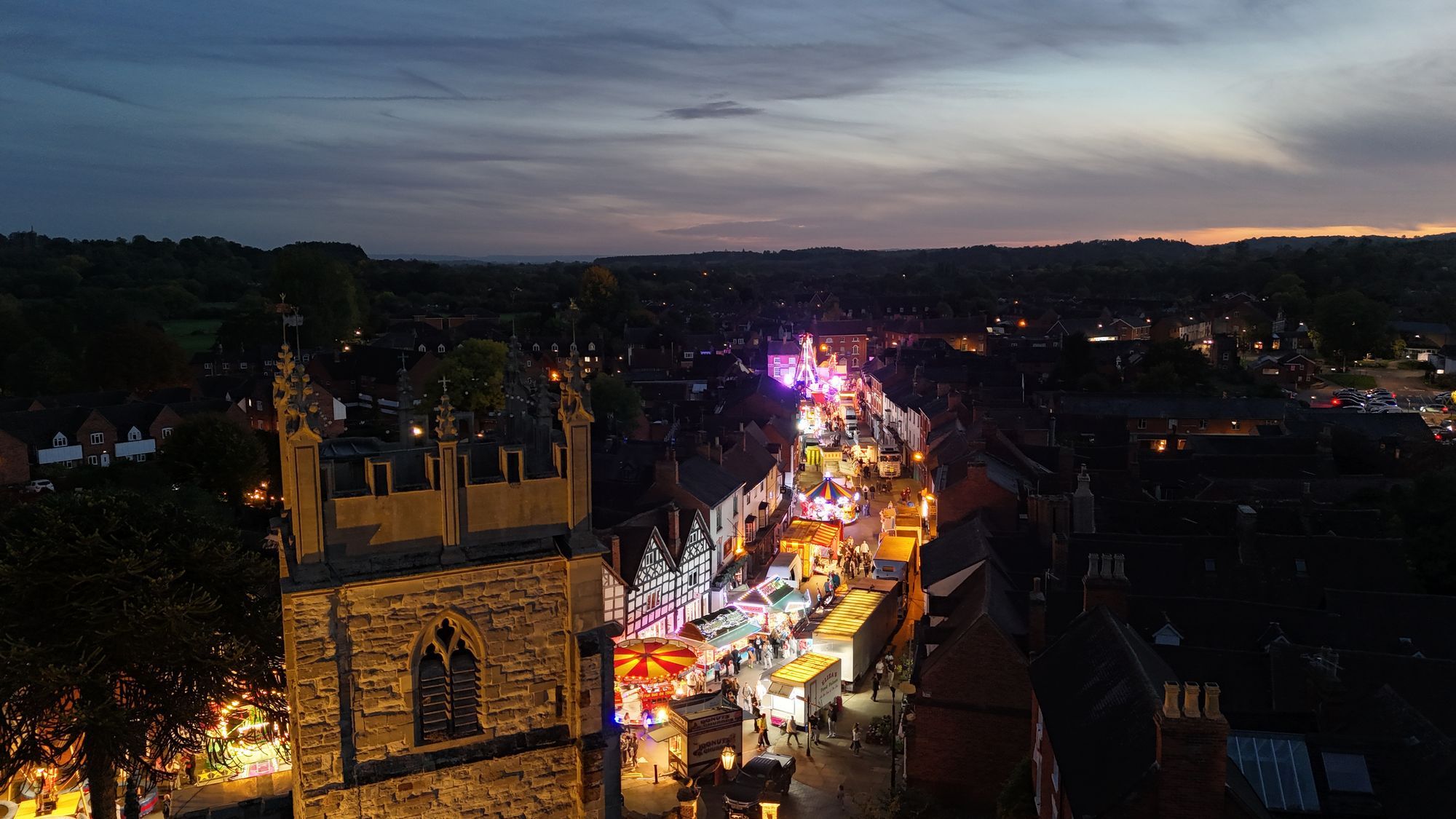
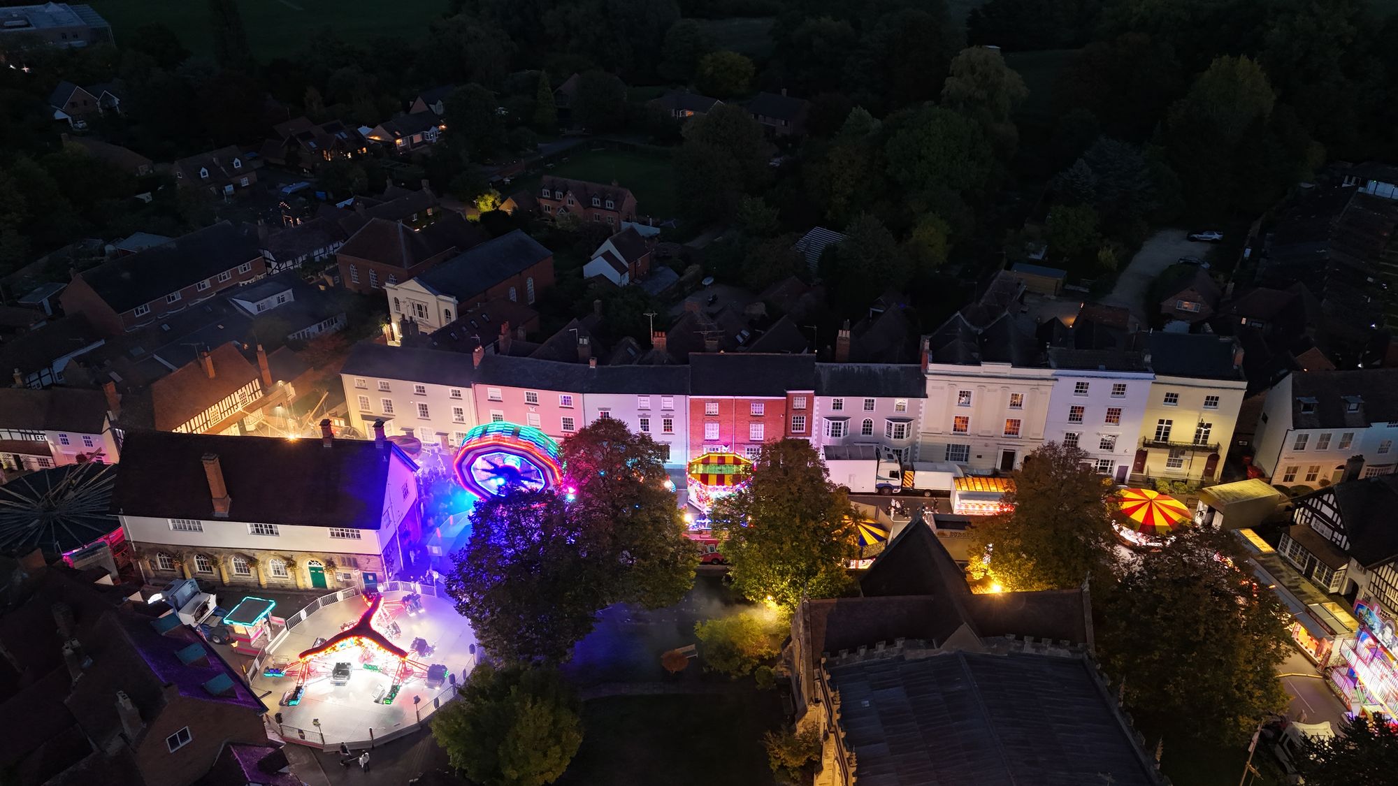
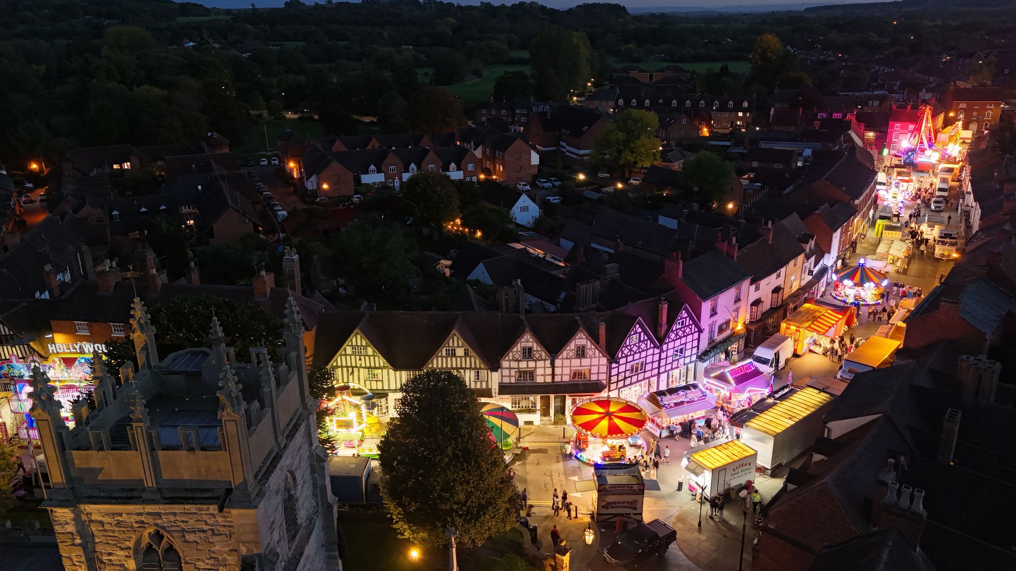
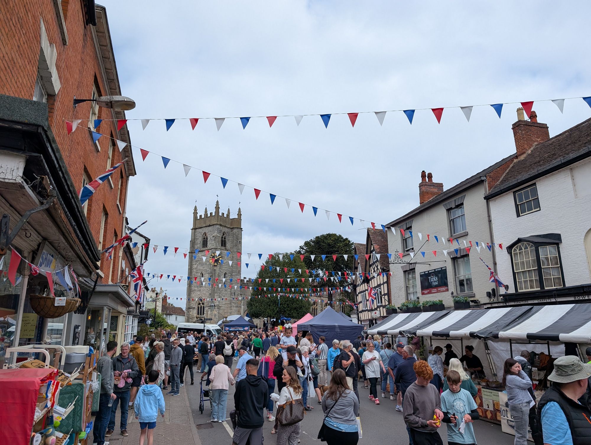
A selection of aerial pictures of Alcester’s Mop fair taken on Monday the 6th of October 2025.
Alcester Mop CarouselsAlcester Mop Sticking WallAlcester Mop SunsetThe colours of Alcester MopAlcester Mop from St NicholasAlcester Town hall and the MopAlcester Mop Fair 2025
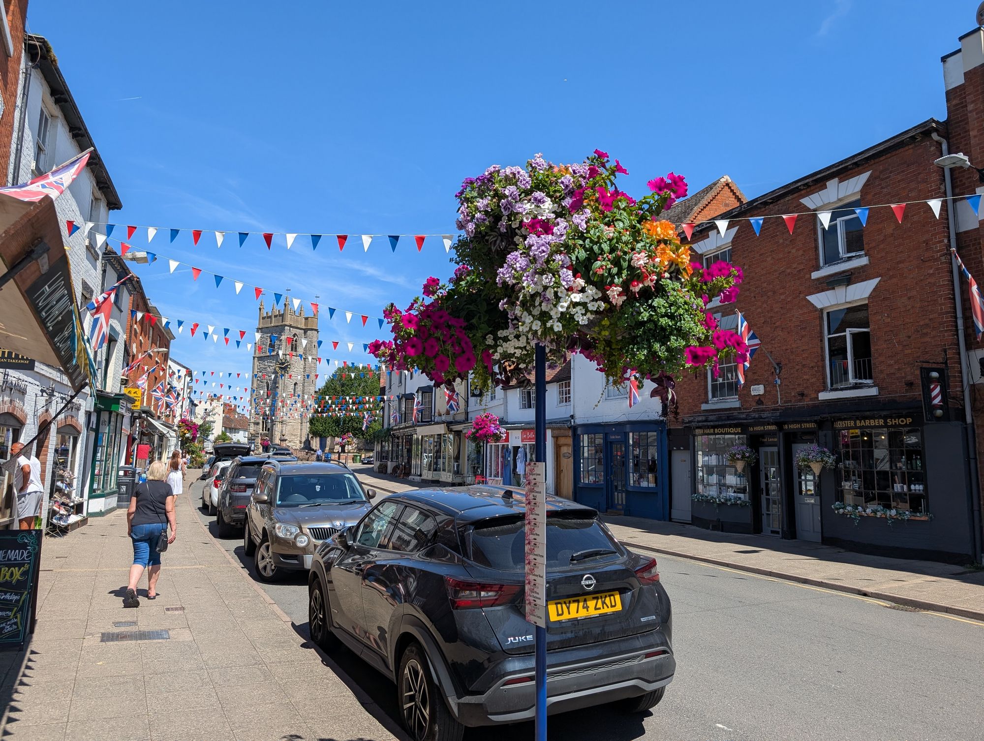
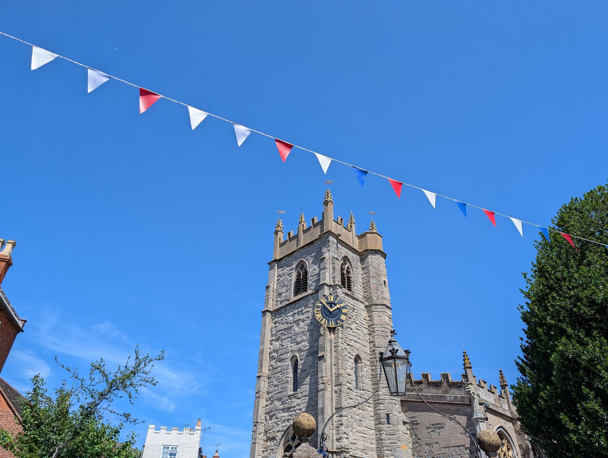
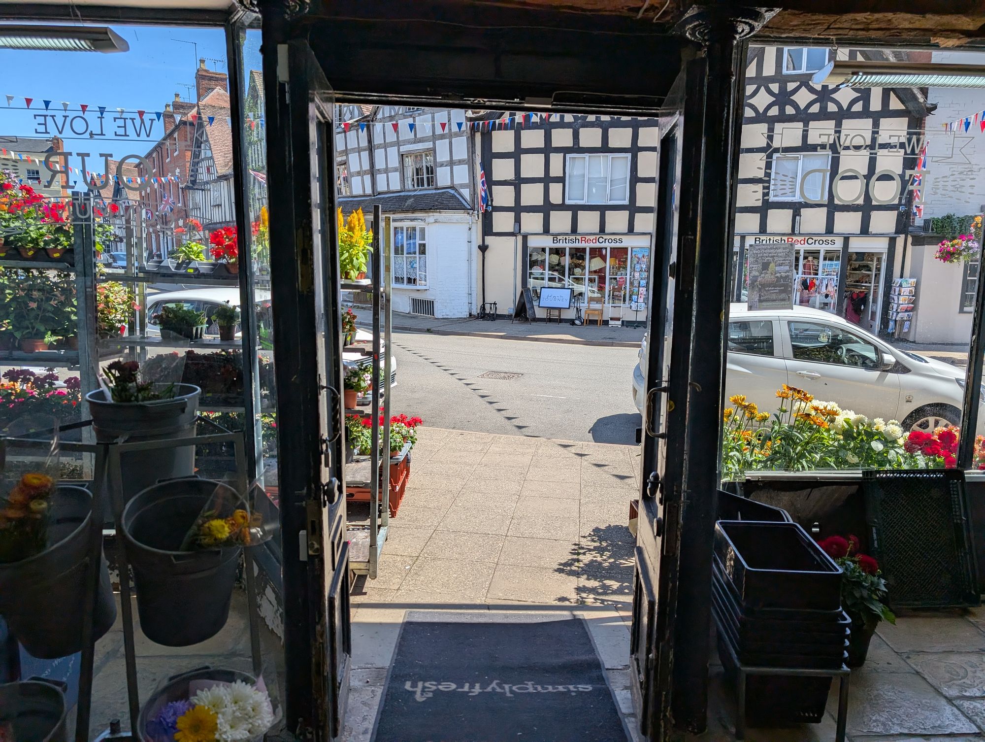
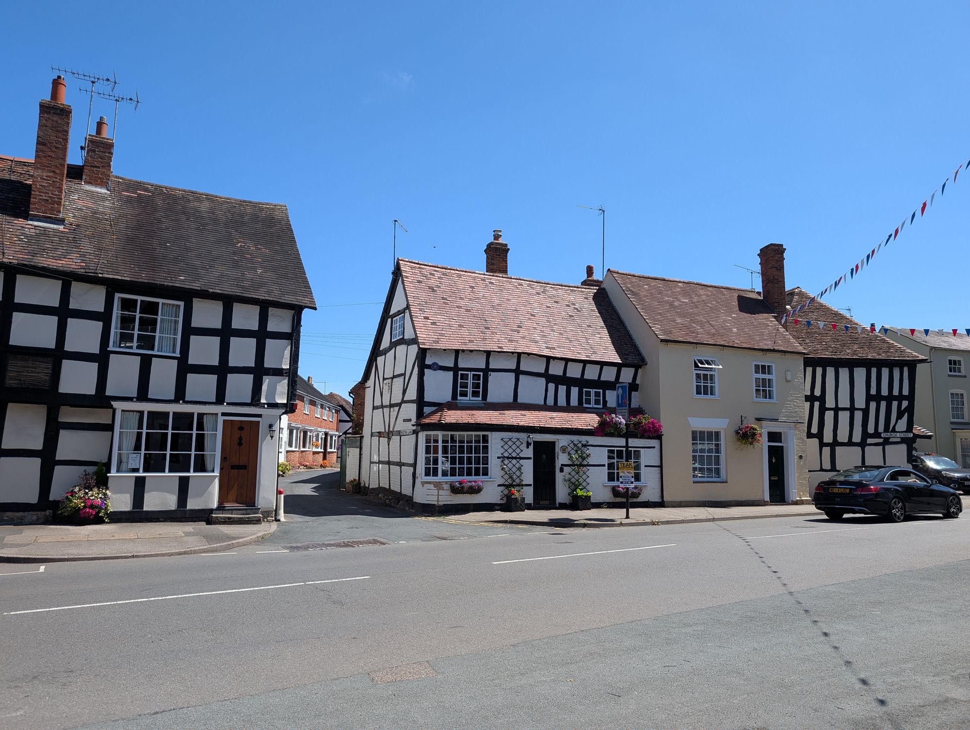
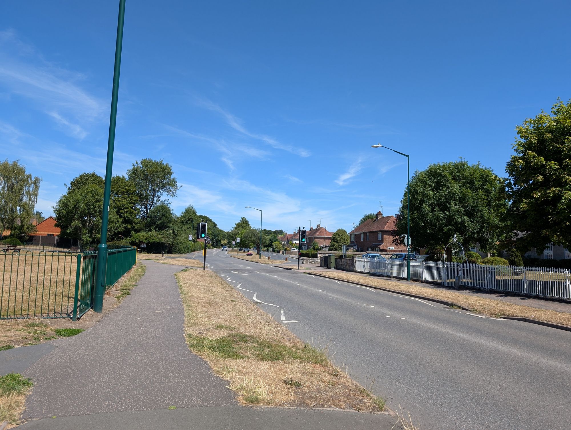
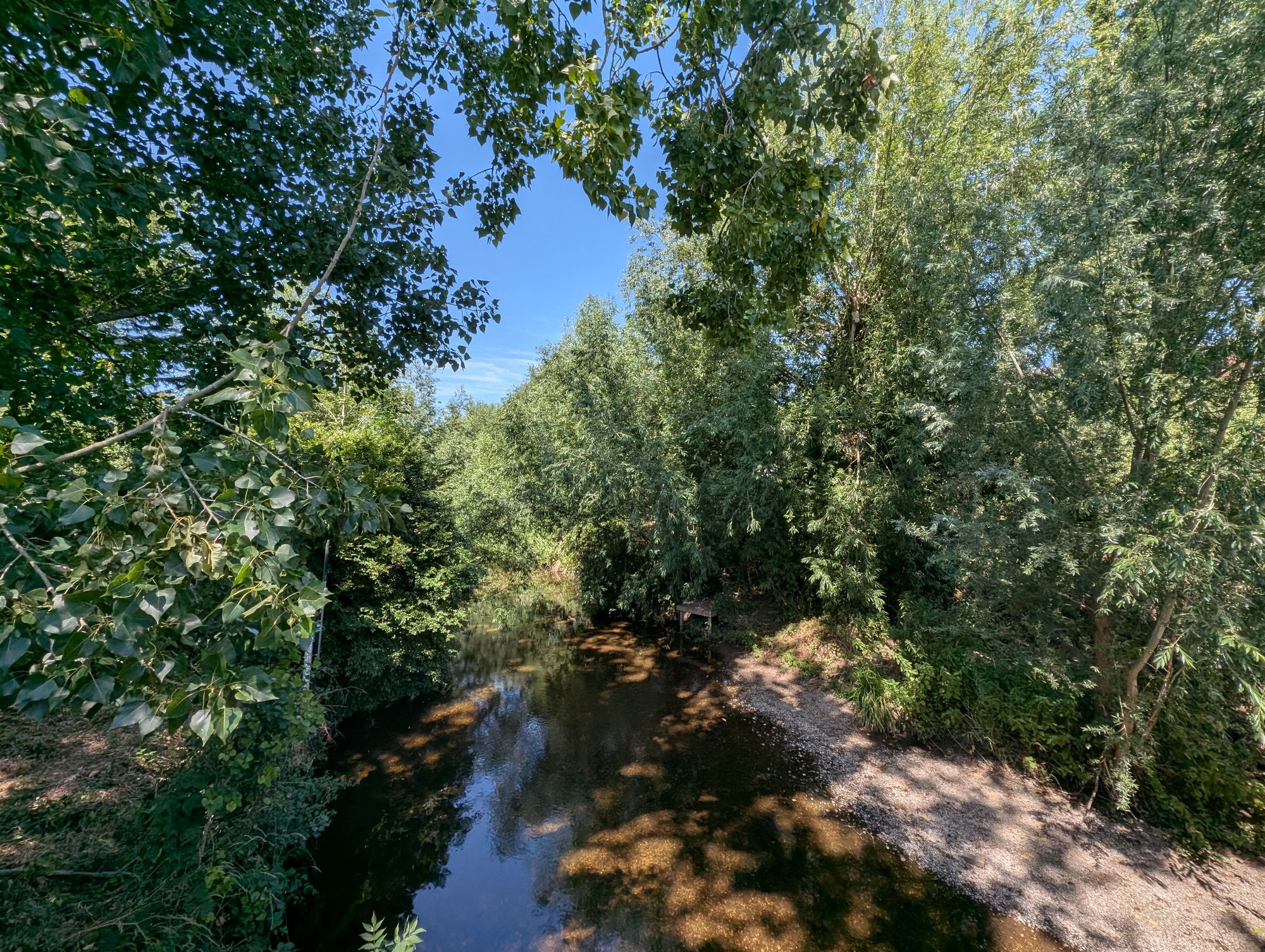
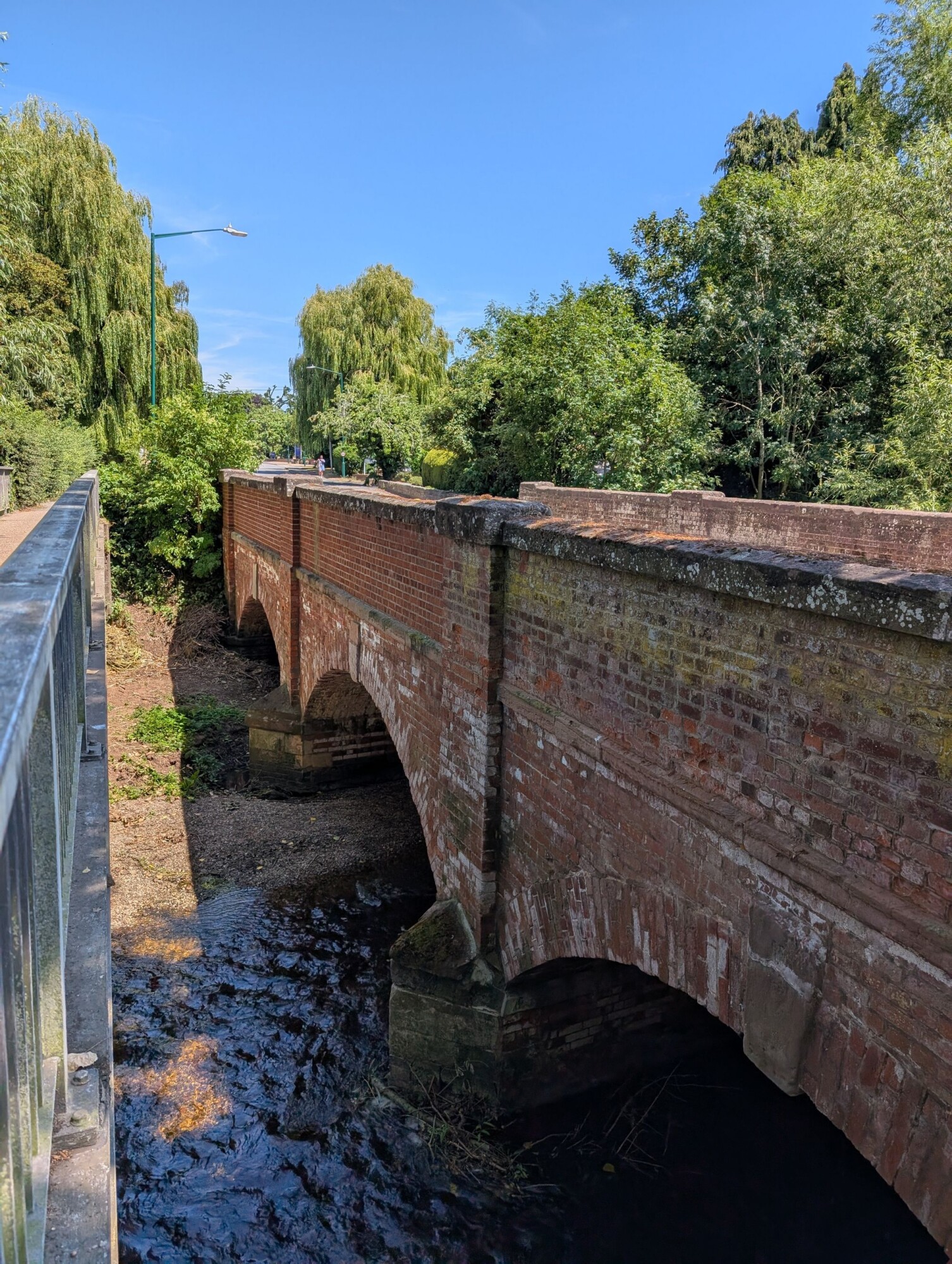
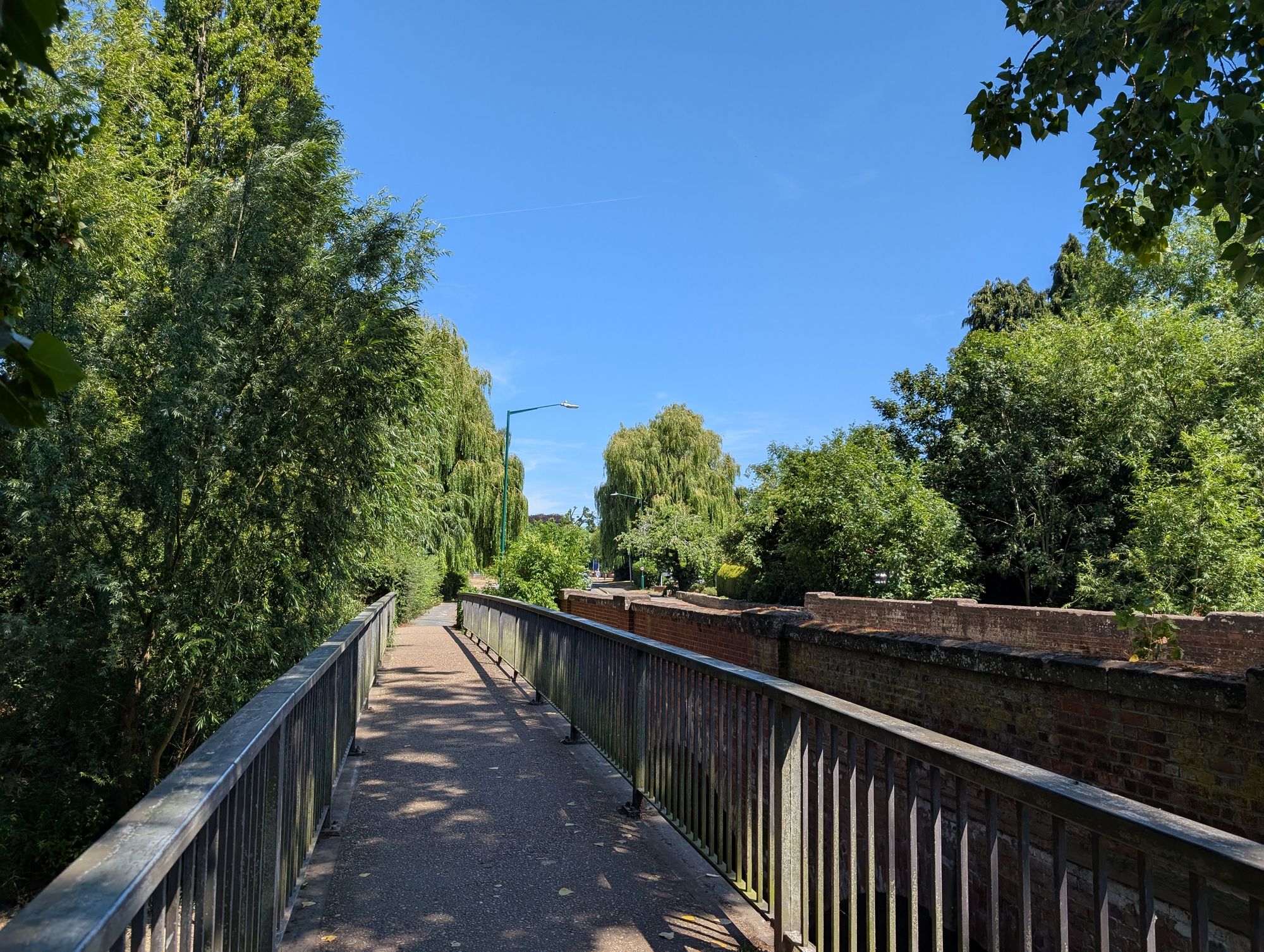
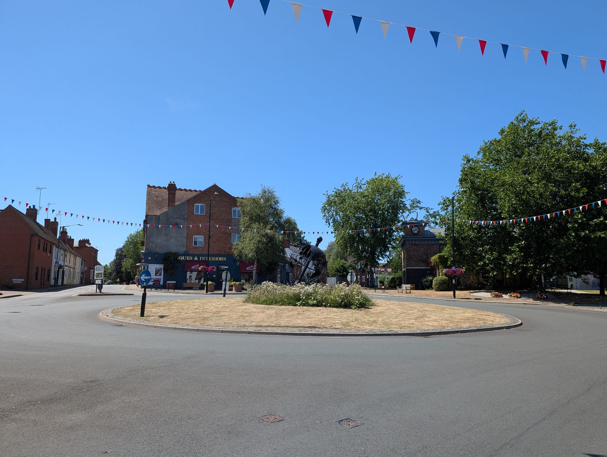
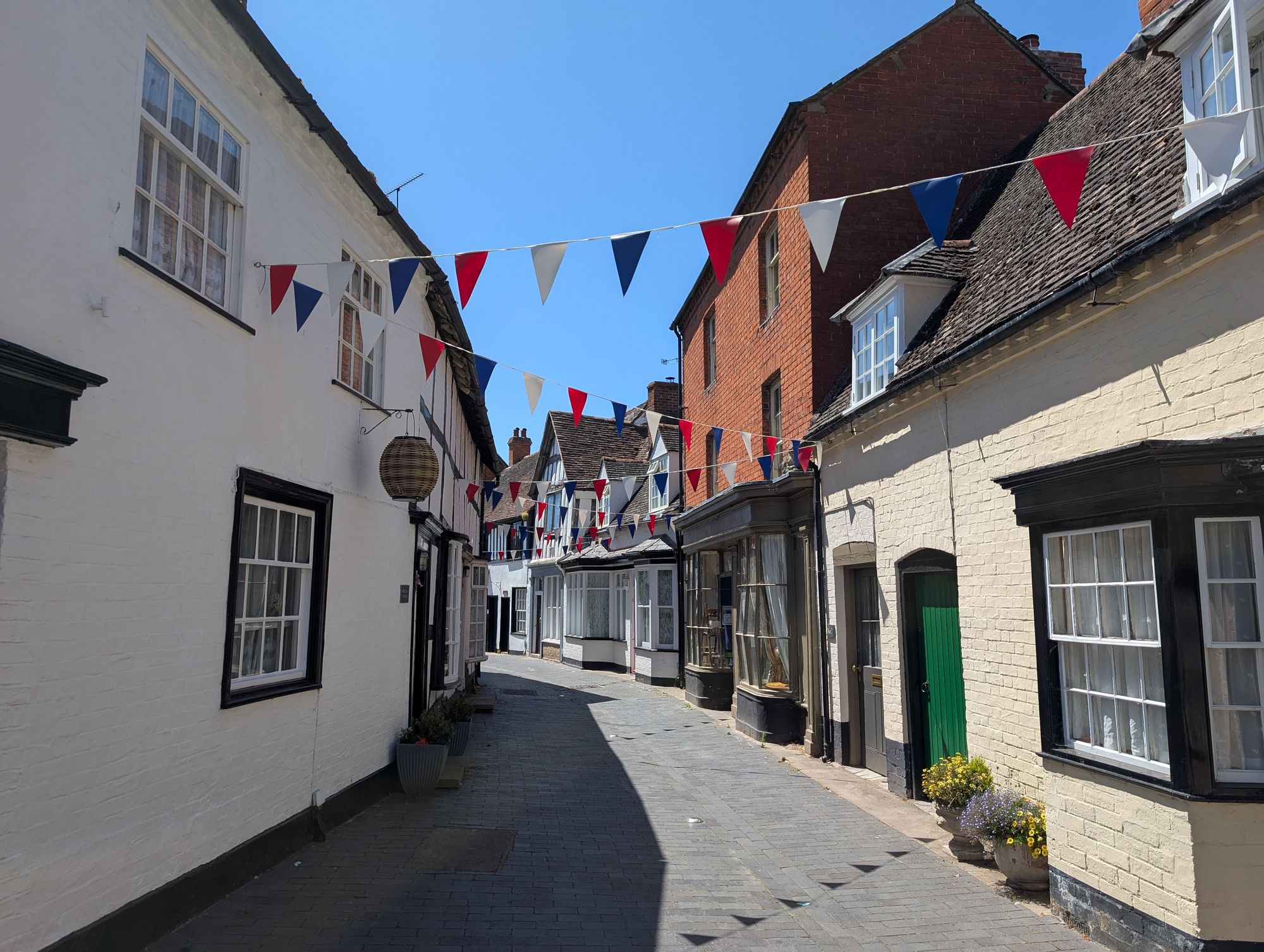
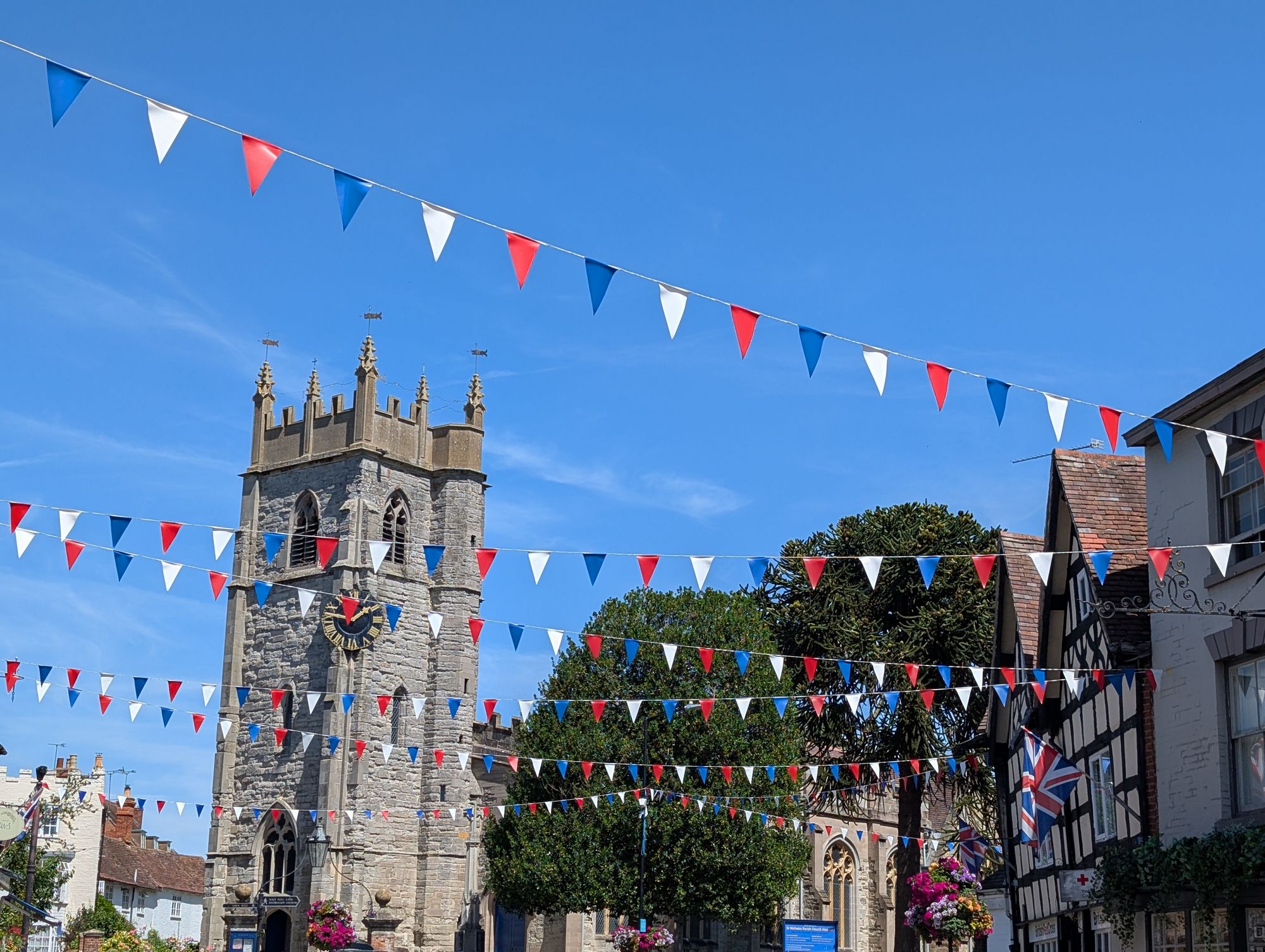
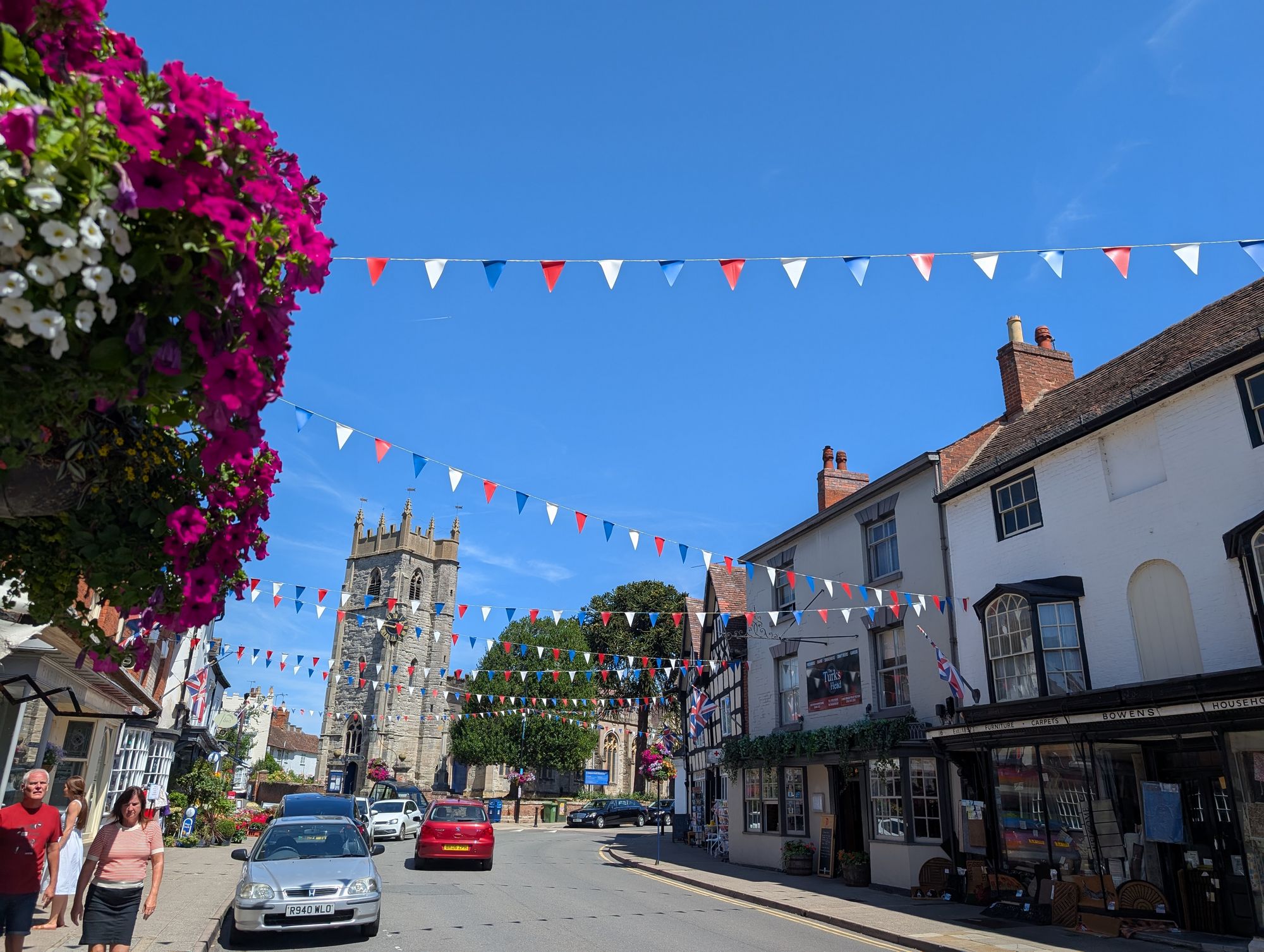
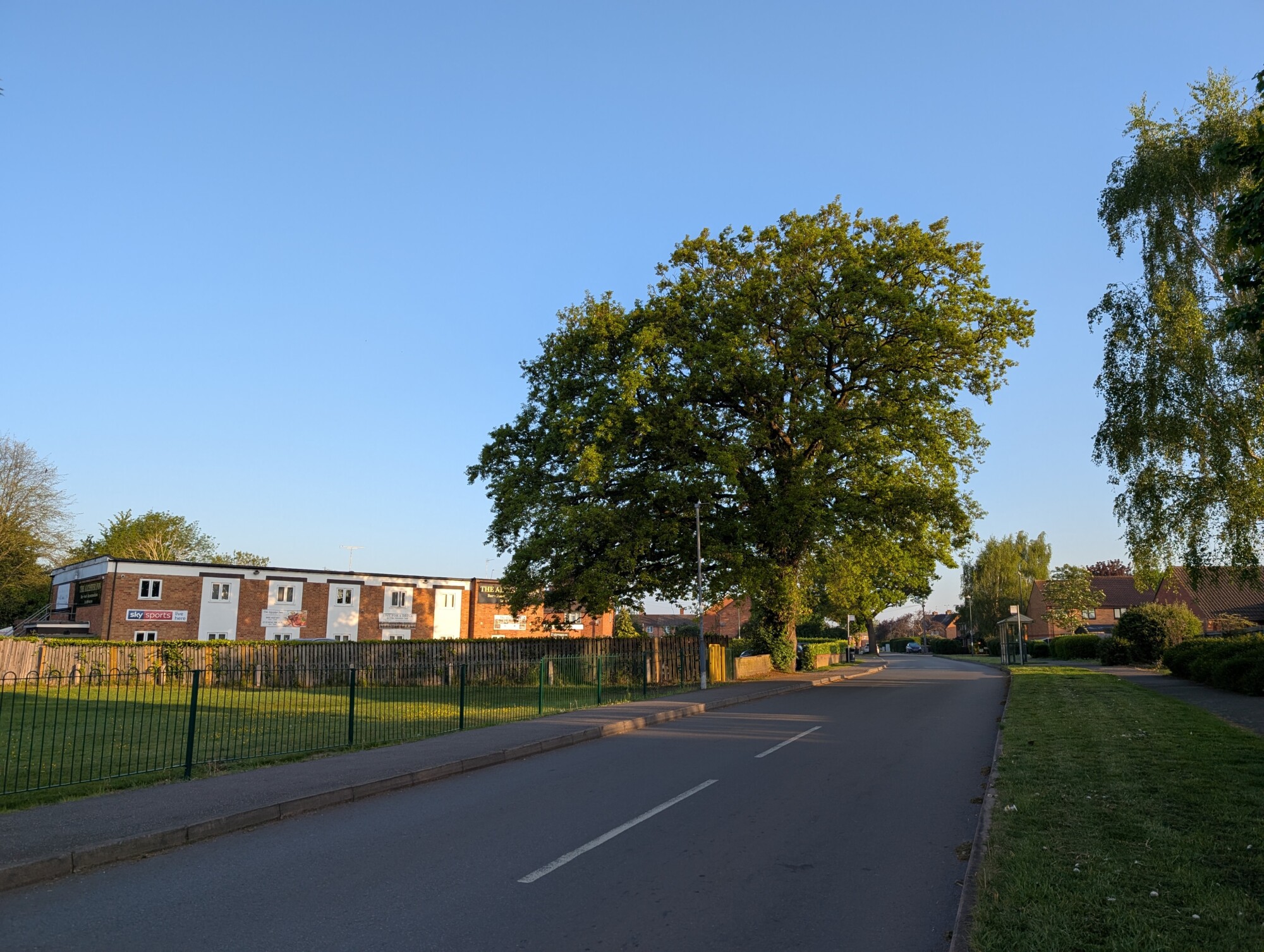
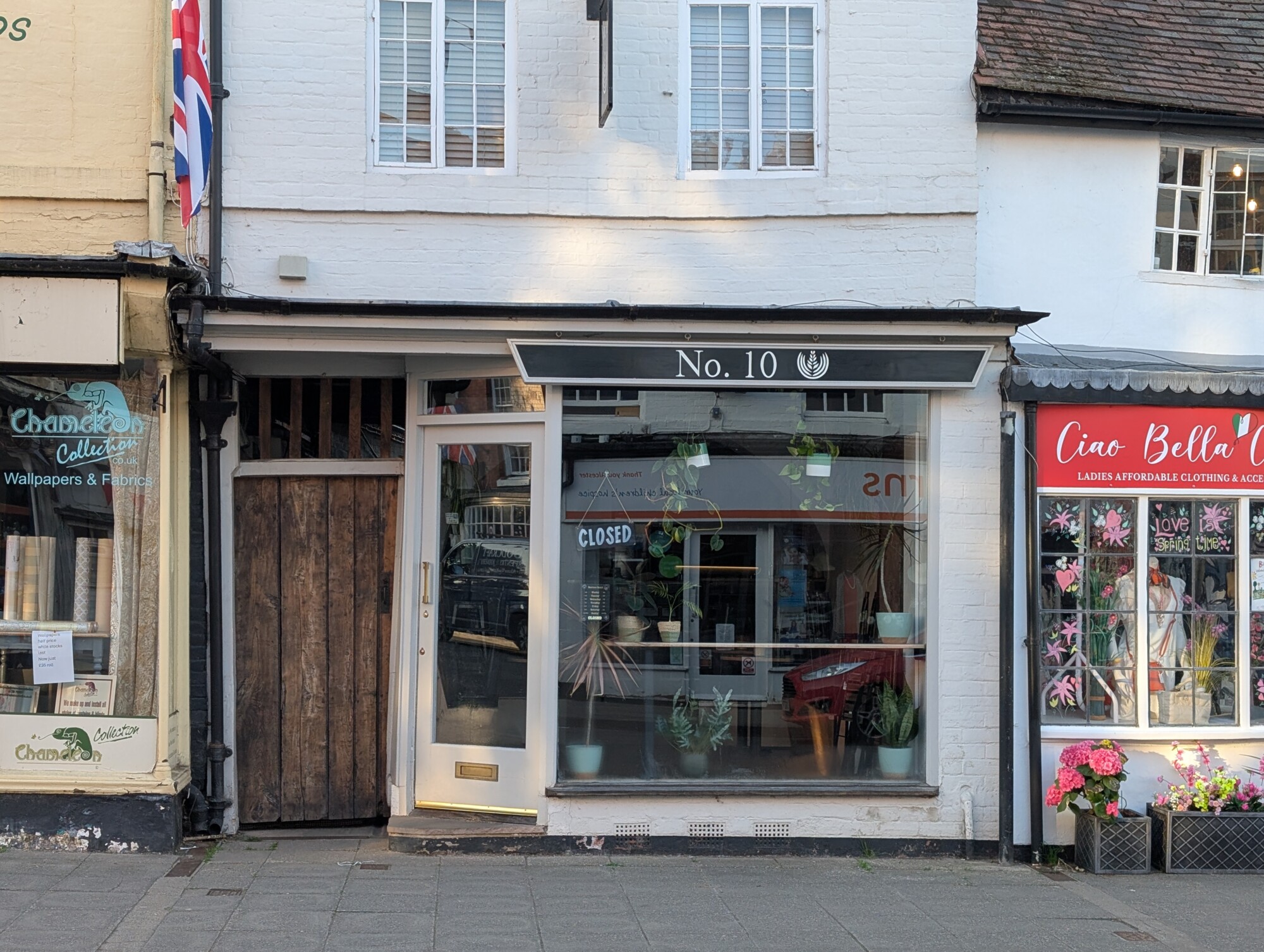
A few photo’s from a lunchtime walk around Alcester in the searing heat of the July heatwave we’d all been having.
Alcester High StreetSt Nicholas ChurchSt Nicholas Church and buntingSimply Fresh, AlcesterMeeting LaneKinwarton Farm_Road from Hopkins Precinct River Arrow from Gunnings BridgeGunnings BridgeGunnings BridgeGlobe RoundaboutButter StreetAlcester High StreetAlcester High Street
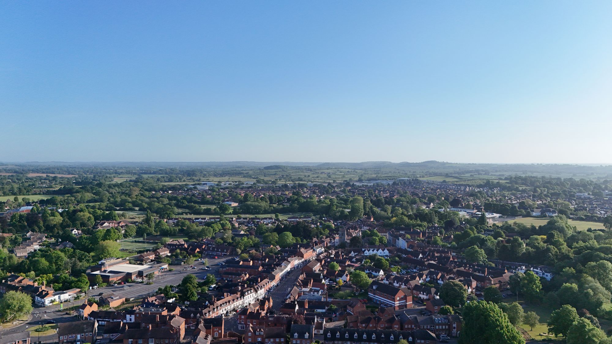
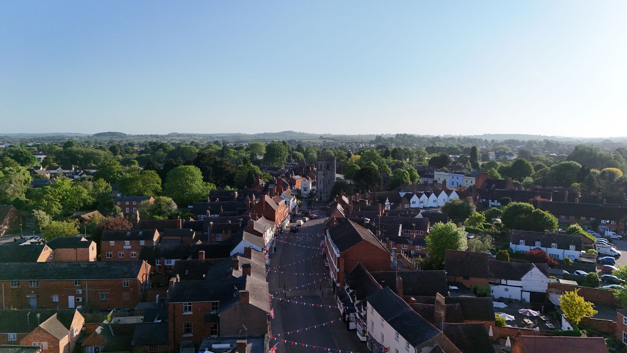
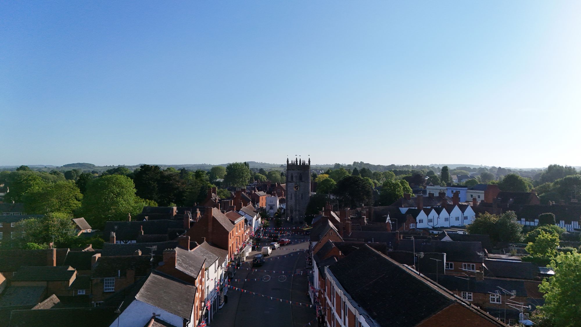
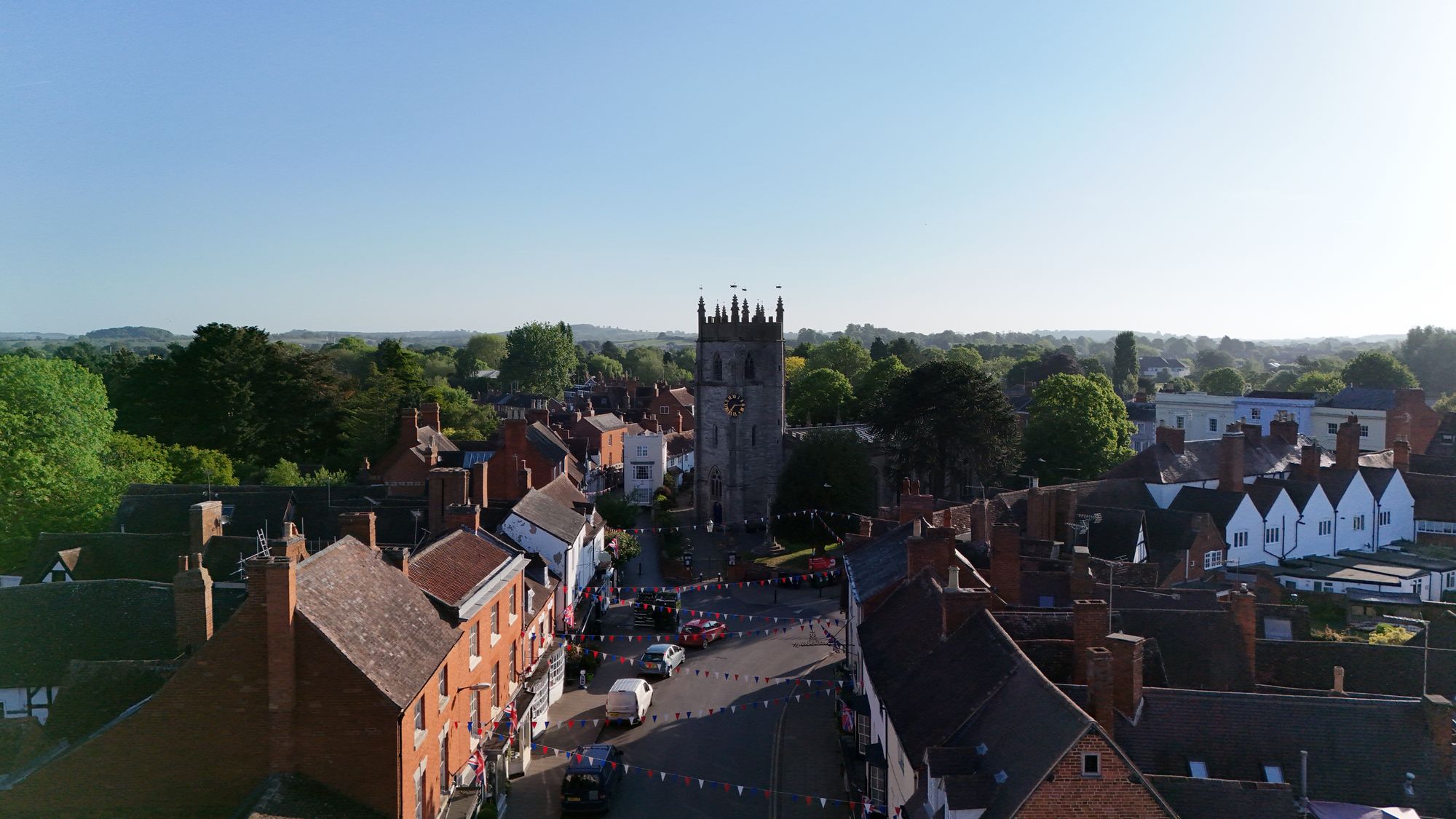
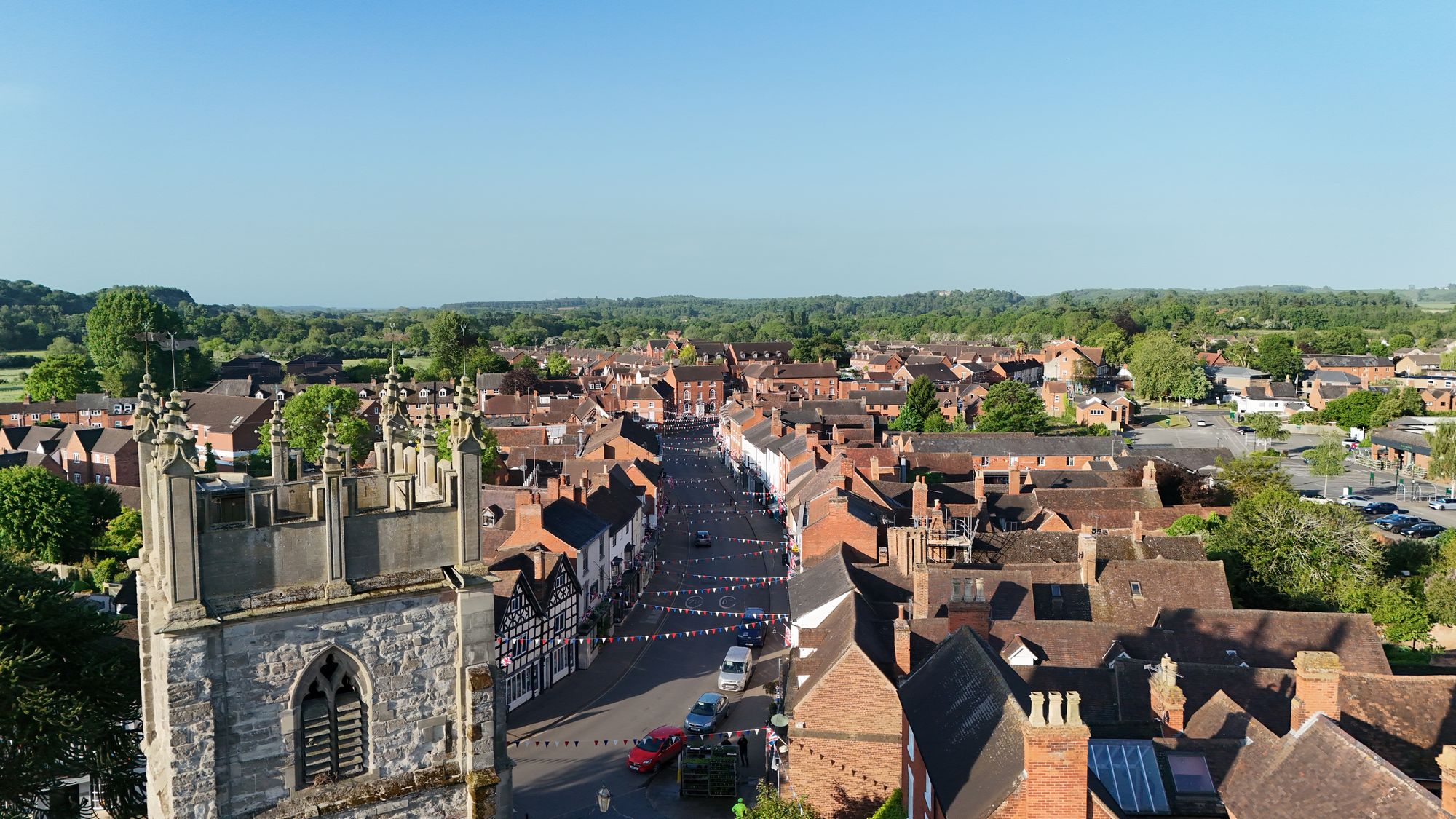
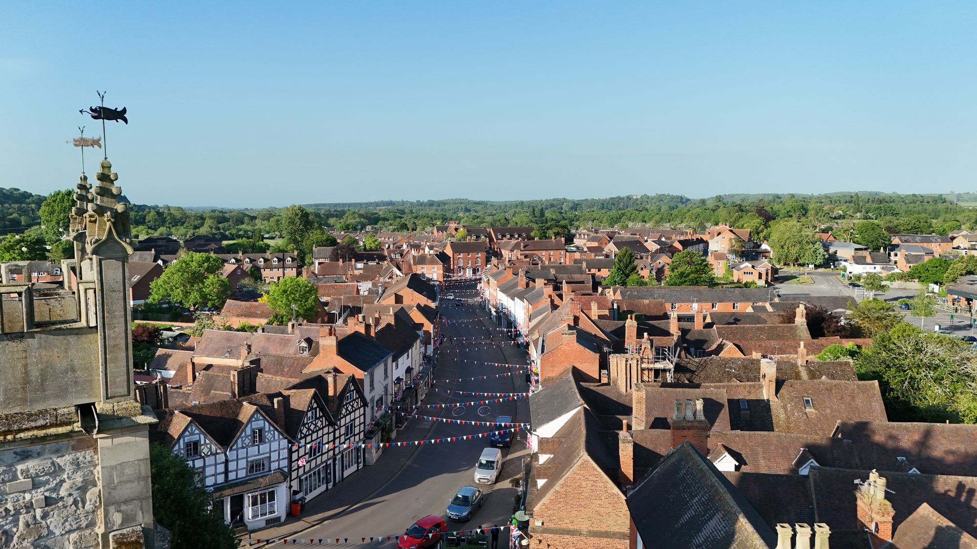
The glorious weather has continued throughout the month of May and really gets me itching to take the drone up over the town.
I think the town looks great with the bunting out on the high street and just look at that blue/green summer backdrop. Marvellous!
Alcester High Street From Above 1Alcester High Street From Above 2Alcester High Street From Above 3Alcester High Street From Above 4Alcester High Street From Above – Behind St Nicholas Church 1Alcester High Street From Above – Behind St Nicholas Church 2
All pictures taken on Tuesday the 13th of May 2025.
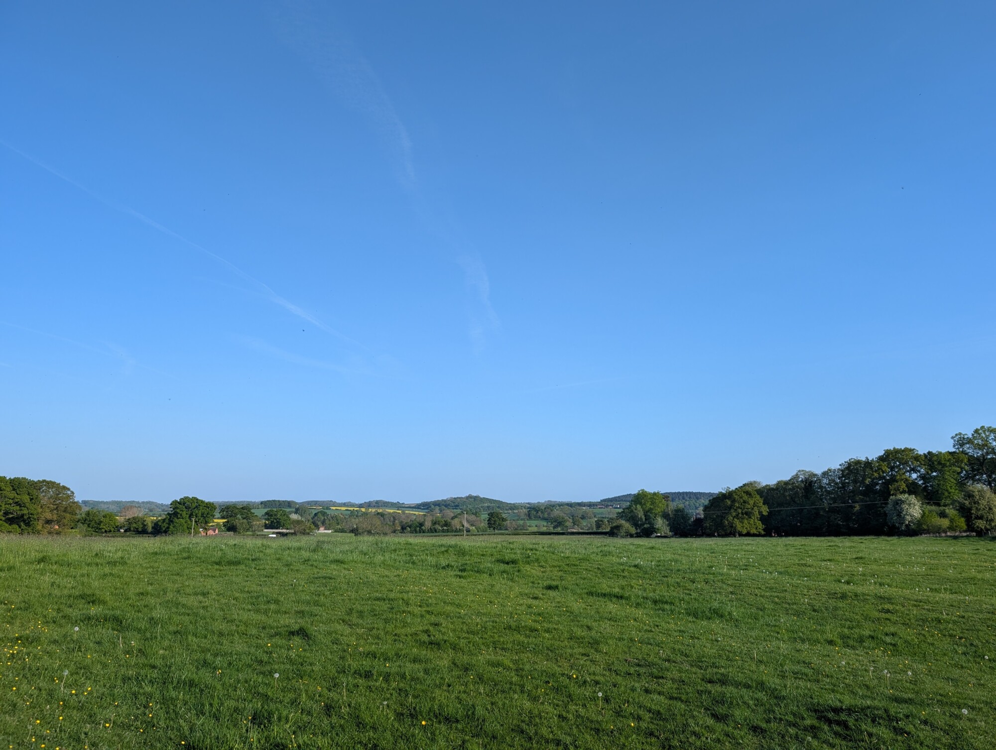
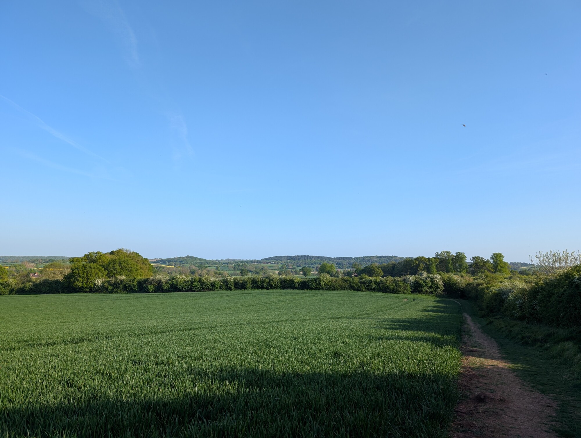
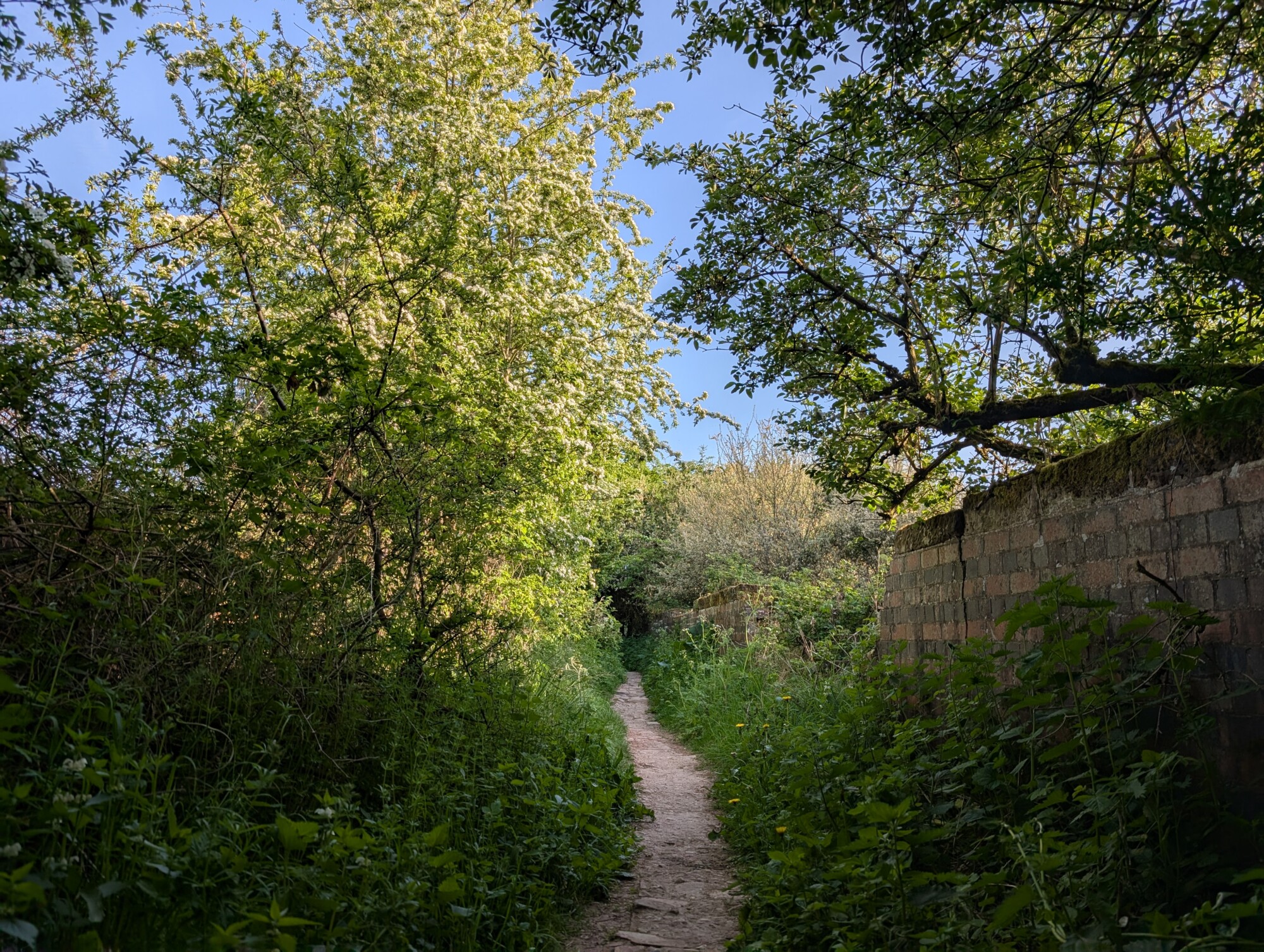
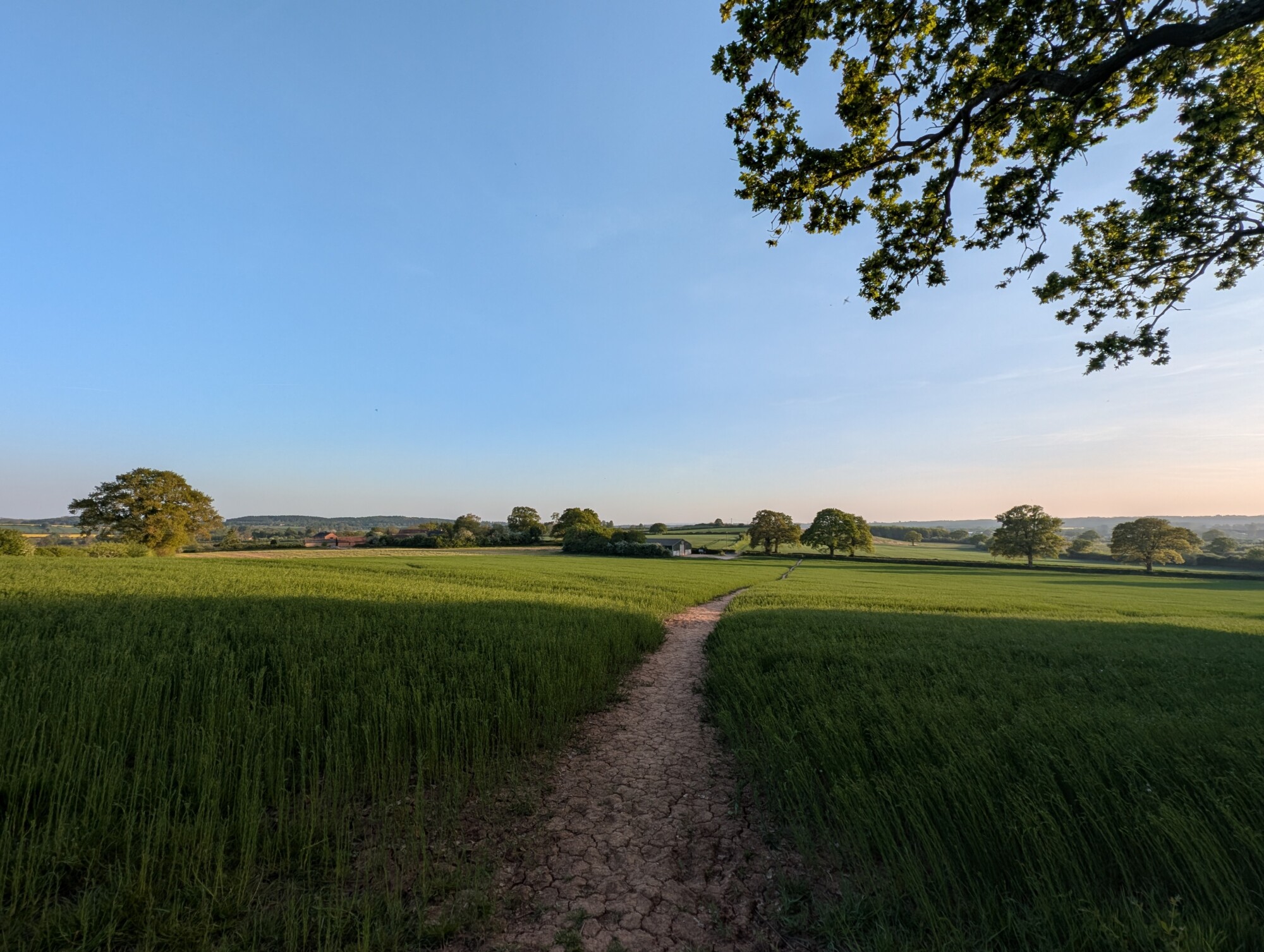
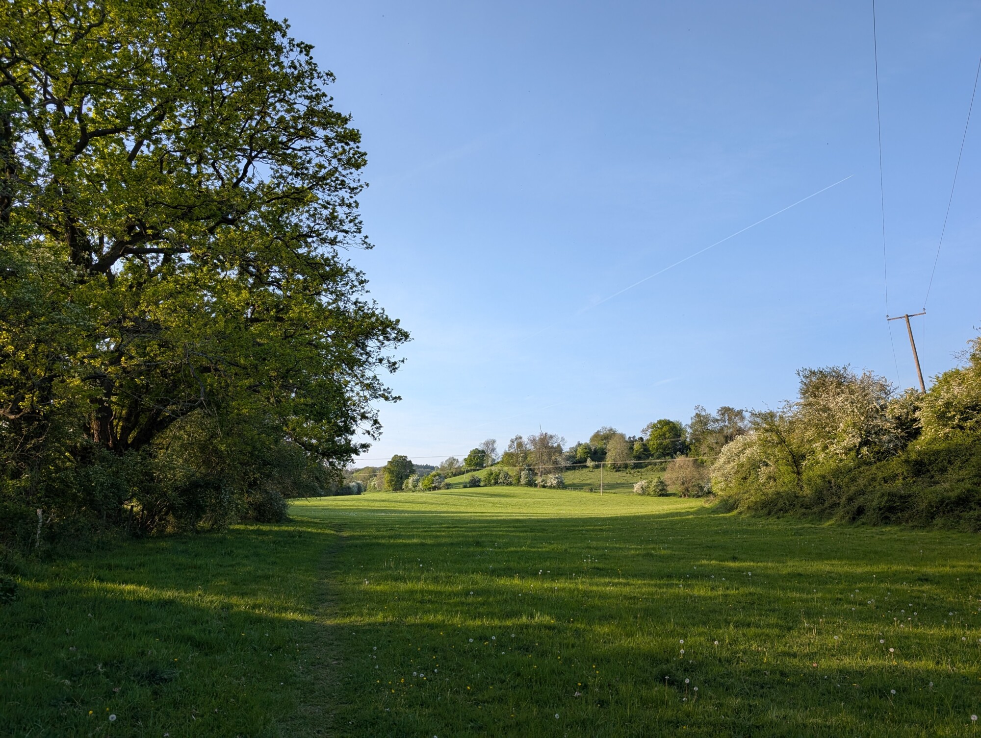
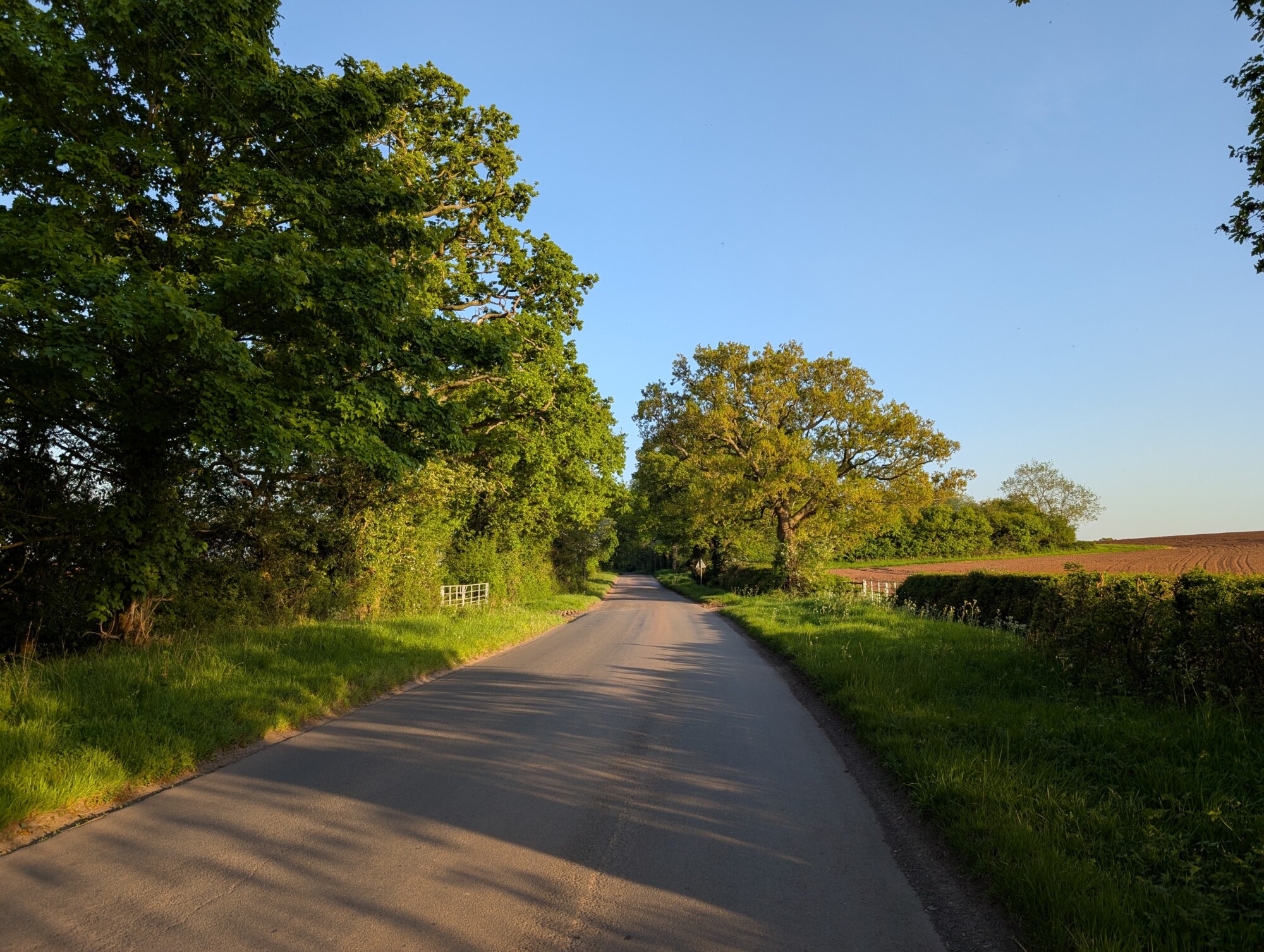
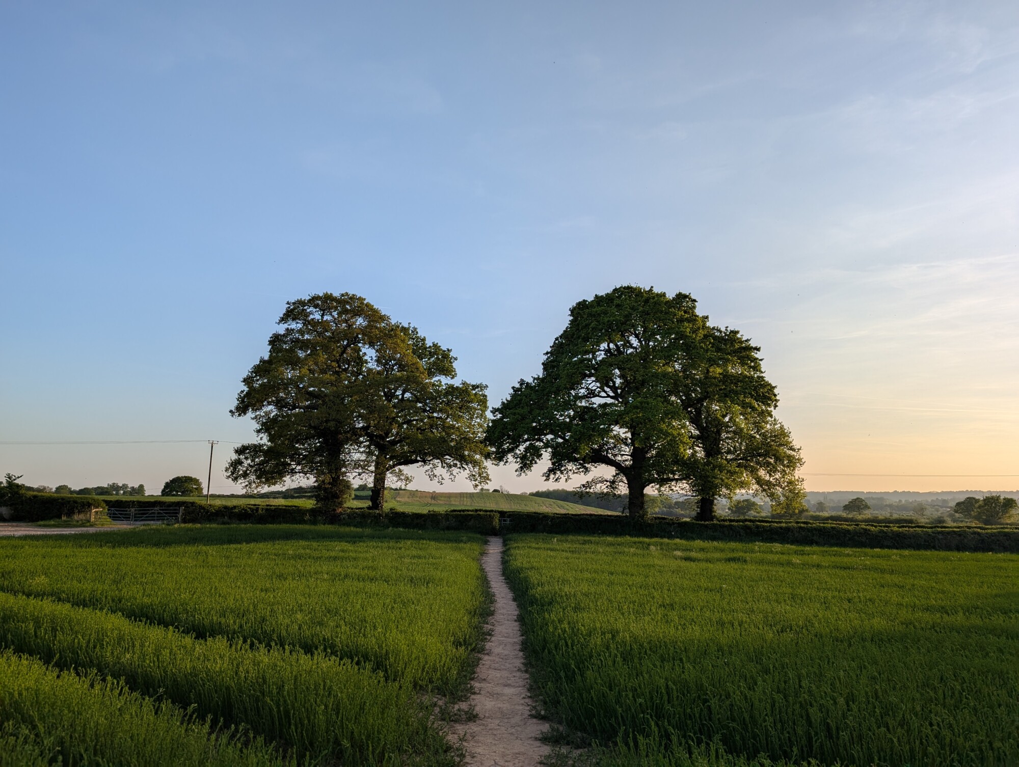
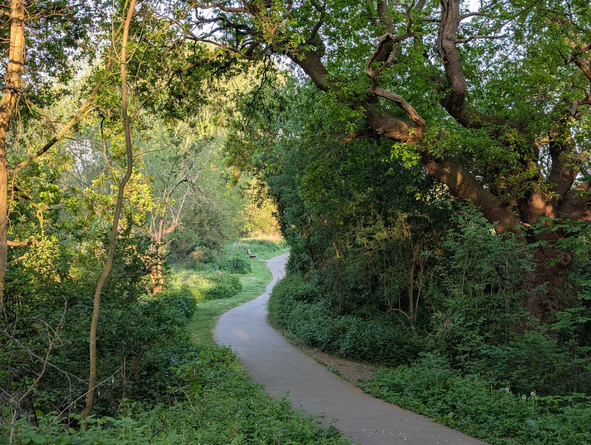
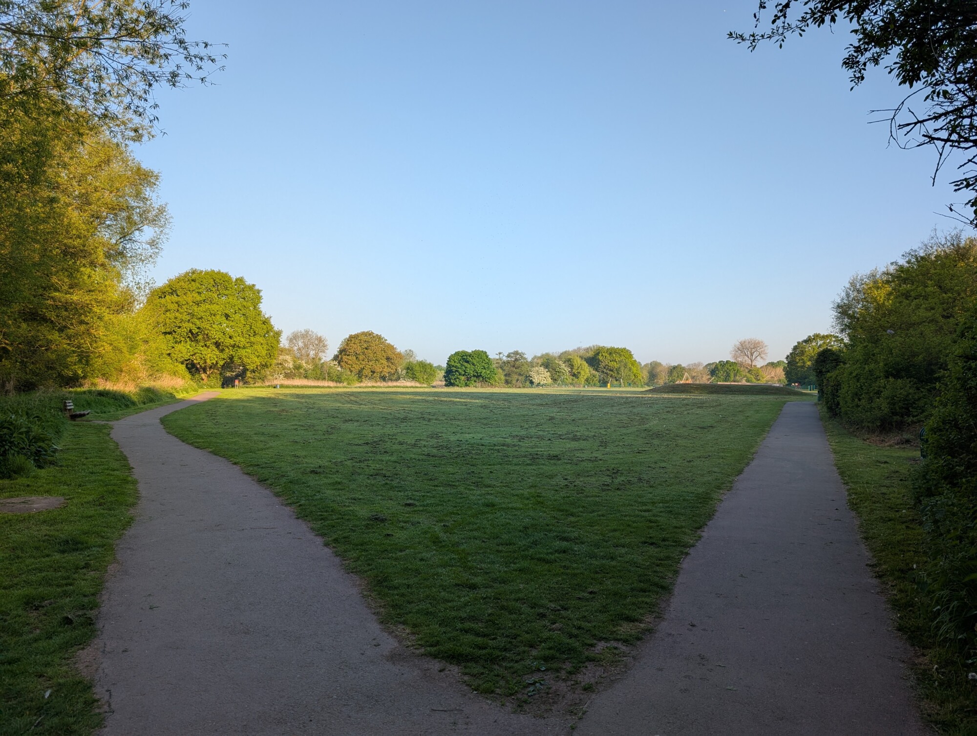
Pictures from an early summer walk following Monarch’s way from Kinwarton to Spernal Lane, a little bit of the Alne Hills and back again.
Kinwarton Field Looking Towards The B4089Kinwarton Field Looking Towards Gerrard’s BankMonarch’s Way Over Gerrards Bank BridgeCountryside View From The Monarch’s Way Path Spernal LaneAlne HillsSpernal Lane towards Great AlneMonarch’s Way Path with Trees on Spernal Lane
All pictures taken on Tuesday the 29th of April 2025